Category:Geography of Veenendaal
Jump to navigation
Jump to search
| NO WIKIDATA ID FOUND! Search for Geography of Veenendaal on Wikidata | |
| Upload media |
Subcategories
This category has the following 10 subcategories, out of 10 total.
D
- Dragonder-Noord (1 F)
- Dragonder-Oost (1 F)
- Dragonder-Zuid (1 F)
F
- Franse Gat (1 F)
P
- Petenbos-Oost (1 F)
- Petenbos-West (1 F)
V
- Veenendaal-Oost (1 F)
Media in category "Geography of Veenendaal"
The following 7 files are in this category, out of 7 total.
-
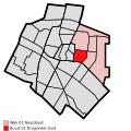
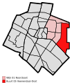
Map - NL - Veenendaal - Wijk 02 Zuidoost - Buurt 03 Petenbos.svg 375 × 375; 22 KB
-
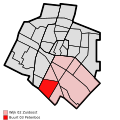
Map - NL - Veenendaal - Wijk 03 Zuidwest - Buurt 01 Franse Gat.svg 375 × 375; 22 KB


