Category:Geography of Prien am Chiemsee
Jump to navigation
Jump to search
Wikimedia category | |||||
| Upload media | |||||
| Instance of | |||||
|---|---|---|---|---|---|
| Category combines topics |
| ||||
| Prien am Chiemsee | |||||
market municipality in the district of Rosenheim, in Bavaria, Germany | |||||
| Instance of |
| ||||
| Part of |
| ||||
| Location | Rosenheim, Upper Bavaria, Bavaria, Germany | ||||
| Population |
| ||||
| Area |
| ||||
| Elevation above sea level |
| ||||
| official website | |||||
 | |||||
Subcategories
This category has only the following subcategory.
*
Media in category "Geography of Prien am Chiemsee"
The following 12 files are in this category, out of 12 total.
-
Kampenwand von Prien Stock (Hafen).JPG 3,008 × 2,000; 2.53 MB
-
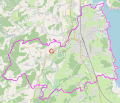
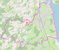
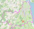
Prien - Bachham.svg 512 × 436; 6.64 MB
-
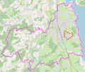
Prien - Ernsdorf.svg 512 × 436; 6.64 MB
-
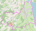
Prien - Geishacken.svg 512 × 436; 6.64 MB
-
Prien - Mitterweg.svg 512 × 436; 6.65 MB
-
Prien - Prutdorf.svg 512 × 436; 6.64 MB
-
Prien - Schmieding.svg 512 × 436; 6.64 MB
-
Prien - Siggenham.svg 512 × 436; 6.65 MB
-
Prien - Trautersdorf.svg 512 × 436; 6.64 MB
-
Prien - Urschalling.svg 512 × 436; 6.65 MB
-
Prien - Vachendorf.svg 512 × 436; 6.64 MB
-
Prien.JPG 3,264 × 2,448; 1.93 MB


