Category:Energy maps of Japan
Jump to navigation
Jump to search
Subcategories
This category has only the following subcategory.
M
Media in category "Energy maps of Japan"
The following 19 files are in this category, out of 19 total.
-
Electric power distribution sector in Japan.svg 900 × 600; 186 KB
-
Electric power interconnection capacity in Japan.svg 2,480 × 2,600; 282 KB
-
Electricity supply area in Mie (1921).svg 860 × 1,385; 77 KB
-
Japan atomic power plants de.svg 1,265 × 839; 2.75 MB
-
Japan atomic power plants v2 de.svg 1,265 × 791; 2.75 MB
-
Japan el utilities.png 570 × 755; 79 KB
-
Japan nuclear power plants de.png 2,753 × 2,314; 624 KB
-
Japan nuke plants.PNG 570 × 755; 79 KB
-
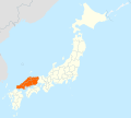
Service Area Chūgoku Denryoku.svg 413 × 373; 925 KB
-
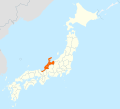
Service Area Hokuriku Denryoku.svg 413 × 373; 931 KB
-
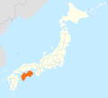
Service Area Shikoku Denryoku.svg 413 × 373; 931 KB
-
Supply area of Hokuetsu Hydroelectric.svg 1,700 × 1,700; 86 KB
-
Supply area of Murakami Hydroelectric.svg 1,700 × 1,700; 52 KB
-
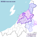
Supply area of Niigata Electric 1.svg 1,700 × 1,700; 97 KB
-
Supply area of Niigata Electric 2.svg 1,500 × 1,150; 61 KB
-
Supply area of Niigata Electric Power 1.svg 1,700 × 1,700; 195 KB
-
Supply area of Niigata Electric Power 2.svg 1,500 × 1,150; 167 KB
-
Supply area of Sado Electric Light.svg 1,700 × 1,700; 48 KB
-
電力会社事業地域図.png 199 × 228; 5 KB


