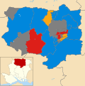
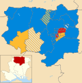
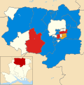
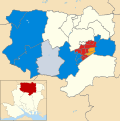
Category:Election maps of Basingstoke and Deane
Jump to navigation
Jump to search
Media in category "Election maps of Basingstoke and Deane"
The following 18 files are in this category, out of 18 total.
-
BASINGSTOKE & DEANE (49911039607).png 2,160 × 1,080; 475 KB
-
Basingstoke (42140582645).png 2,320 × 1,516; 220 KB
-
Basingstoke and Deane 2006 election map.png 582 × 480; 82 KB
-
Basingstoke and Deane 2007 election map.png 582 × 480; 83 KB
-
Basingstoke and Deane 2019 ward results.svg 1,223 × 1,226; 493 KB
-
Basingstoke and Deane 2021 ward results.svg 1,223 × 1,226; 418 KB
-
Basingstoke and Deane 2022 ward results.svg 1,223 × 1,226; 413 KB
-
Basingstoke and Deane UK local election 2008 map.svg 1,223 × 1,226; 493 KB
-
Basingstoke and Deane UK local election 2010 map.svg 1,223 × 1,226; 491 KB
-
Basingstoke and Deane UK local election 2011 map.svg 1,223 × 1,226; 491 KB
-
Basingstoke and Deane UK local election 2012 map.svg 1,223 × 1,226; 493 KB
-
Basingstoke and Deane UK local election 2014 map.svg 1,223 × 1,226; 494 KB
-
Basingstoke and Deane UK local election 2015 map.svg 1,223 × 1,226; 493 KB
-
Basingstoke and Deane UK local election 2016 map.svg 1,223 × 1,226; 493 KB
-
Basingstoke and Deane UK local election 2018 map.svg 1,223 × 1,226; 493 KB
-
Basingstoke and Deane UK ward map 2021 (blank).svg 1,223 × 1,226; 413 KB
-
Basingstoke and Deane UK ward map 2023.svg 707 × 583; 333 KB
-
Basingstoke and Deane UK ward map 2024.svg 707 × 583; 333 KB


