Category:CIA World Factbook maps of the Netherlands Antilles
Jump to navigation
Jump to search
Media in category "CIA World Factbook maps of the Netherlands Antilles"
The following 13 files are in this category, out of 13 total.
-
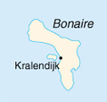
Bonaire.PNG 131 × 124; 9 KB
-
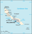
Curaçao CIA map.png 330 × 353; 16 KB
-
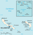
Dutch Caribbean map.png 610 × 351; 47 KB
-
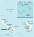
Netherlands Antilles before 1986.png 610 × 351; 47 KB
-
Netherlands Antilles-CIA WFB Map (1985).png 566 × 472; 64 KB
-
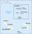
Netherlands Antilles-CIA WFB Map (2004).png 329 × 354; 6 KB
-
Netherlands Antilles-CIA WFB Map.png 326 × 351; 8 KB
-
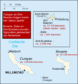
Niederländische Antillen.gif 329 × 353; 10 KB
-
Nt-map (de).png 329 × 354; 6 KB
-
Nt-map.png 351 × 377; 9 KB
-
SSS islands.png 160 × 156; 26 KB
-
Staatkundigehervormingenantillen.png 351 × 377; 64 KB
-
World Factbook (1990) Netherlands Antilles.jpg 566 × 432; 48 KB
