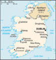
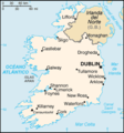
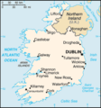
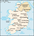
Category:CIA World Factbook maps of Ireland
Jump to navigation
Jump to search
Media in category "CIA World Factbook maps of Ireland"
The following 16 files are in this category, out of 16 total.
-
000 Irlanda harta.PNG 330 × 355; 9 KB
-
Aierlan-ditu-zh.png 1,086 × 1,257; 259 KB
-
Ei-map (Lithuanian).png 649 × 754; 82 KB
-
Ei-map (Lithuanian).svg 649 × 754; 214 KB
-
Ei-map - 2.png 330 × 355; 14 KB
-
Ei-map-es.png 330 × 355; 20 KB
-
Ei-map-fr.png 330 × 355; 39 KB
-
Ei-map.png 330 × 355; 11 KB
-
Ei-map.svg 652 × 756; 115 KB
-
Ei-mapCS.PNG 330 × 355; 11 KB
-
Ireland – U.S. area comparison.jpg 701 × 851; 401 KB
-
Ireland-CIA WFB Map.png 330 × 355; 12 KB
-
Mapa-Irlandii-Ukra.png 250 × 268; 31 KB
-
World Factbook (1982) Ireland.jpg 587 × 588; 88 KB
-
World Factbook (1990) Ireland.jpg 558 × 551; 120 KB
-
Éire léarscáil.png 330 × 355; 17 KB


