Category:Buxheim (Upper Bavaria)
Jump to navigation
Jump to search
municipality of Germany | |||||
| Upload media | |||||
| Pronunciation audio | |||||
|---|---|---|---|---|---|
| Instance of |
| ||||
| Part of |
| ||||
| Location | Eichstätt district, Upper Bavaria, Bavaria, Germany | ||||
| Head of government |
| ||||
| Population |
| ||||
| Area |
| ||||
| Elevation above sea level |
| ||||
| Different from | |||||
| official website | |||||
 | |||||
Subcategories
This category has the following 4 subcategories, out of 4 total.
Pages in category "Buxheim (Upper Bavaria)"
This category contains only the following page.
Media in category "Buxheim (Upper Bavaria)"
The following 20 files are in this category, out of 20 total.
-
Wappen von Buxheim (Oberbayern).svg 570 × 590; 18 KB
-
Wappen von Buxheim.png 167 × 176; 3 KB
-
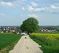
2 Kastanien bei Tauberfeld.jpg 310 × 280; 16 KB
-
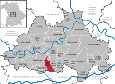
Buxheim - Lage im Landkreis.png 281 × 185; 32 KB
-
Buxheim in EI.svg 804 × 580; 1.12 MB
-
Buxheim in Obberbayern 001.jpg 6,000 × 4,000; 6.66 MB
-
Buxheim in Obberbayern 002.jpg 4,000 × 6,000; 3.52 MB
-
Buxheim in Obberbayern 003.jpg 6,000 × 4,000; 3.61 MB
-
Buxheim in Obberbayern 004.jpg 6,000 × 4,000; 3.71 MB
-
Buxheim in Obberbayern 005.jpg 6,000 × 4,000; 4.9 MB
-
Buxheim in Obberbayern 007.jpg 6,000 × 4,000; 8.06 MB
-
Buxheim in Obberbayern 008.jpg 6,000 × 4,000; 6.69 MB
-
Buxheim in Oberbayern 006.jpg 4,000 × 6,000; 5.85 MB
-
Buxheim in Oberbayern 009.jpg 6,000 × 4,000; 9.34 MB
-
Buxheim in Oberbayern 010.jpg 4,000 × 6,000; 10.03 MB
-
Buxheim in Oberbayern 011.jpg 6,000 × 4,000; 7.22 MB
-
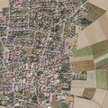
DOP40 - Landkreis Eichstätt 32668 5408 (Bayerische Vermessungsverwaltung).tif 2,500 × 2,500; 16.7 MB
-
Ranch - panoramio.jpg 4,320 × 3,240; 3 MB
-
Tauberfelder See - panoramio.jpg 500 × 375; 38 KB
-
Topogr Karte Buxheim (+ Nachbarorte) 1903.jpg 3,417 × 3,429; 15.65 MB


