Category:Animated maps of Germany
Jump to navigation
Jump to search
Media in category "Animated maps of Germany"
The following 15 files are in this category, out of 15 total.
-
Corona Outbreak Germany Animation.gif 608 × 805; 2.49 MB
-
COVID-19 spread in Germany (27 February to 22 March 2020).gif 947 × 1,253; 3.87 MB
-
Der deutsche staat seit 1867.gif 1,052 × 673; 656 KB
-
Deutsche Bundeslaender1990.gif 500 × 646; 266 KB
-
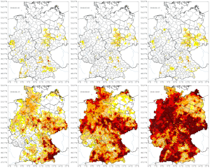
Dürre 2018 Gesamtboden Deutschland.gif 663 × 795; 3.35 MB
-
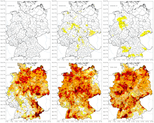
Dürre 2018 Oberboden Deutschland.gif 663 × 795; 3.33 MB
-
Geopoint QID Q151356.webm 3.0 s, 1,080 × 1,080; 331 KB
-
Germanborders2.gif 684 × 499; 635 KB
-
GermanStatesAnimation.gif 443 × 599; 493 KB
-
Germany borders843-1990.gif 354 × 516; 57 KB
-
Historical map of the Saarland 1793.gif 995 × 540; 38 KB
-
Minderheiten im Deutschen Reich 1900.gif 363 × 315; 37 KB
-
Q151356.gif 864 × 864; 1.19 MB
-
Eisenbahnkarte Sachsen.gif 750 × 512; 224 KB
-
The german state since 1867.gif 1,052 × 673; 642 KB


