Category:Aerial photographs of Skagit County, Washington
Jump to navigation
Jump to search
Media in category "Aerial photographs of Skagit County, Washington"
The following 39 files are in this category, out of 39 total.
-

-
-
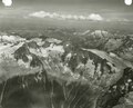
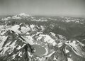
 Aerial view of North Cascades (e67c80f5-58e2-454d-ba3a-3d4268572254).tif 2,821 × 2,244; 11.29 MB
-

-
 Aerial view of town in North Cascades (e49d51dc-0a66-43f6-a43b-5544dddb51fa).tif 2,807 × 2,251; 9.62 MB
-
 Alpine Lakes Wilderness, unidentified lake (4a55b355-0e04-484d-975f-15e8c2b3828d).tif 6,576 × 8,347; 400.74 MB
-

-

-
 Black Lake in Pasayten Wilderness (731cb825-4c3b-4d31-975a-9d1bbce20752).tif 6,560 × 6,505; 244.18 MB
-
-
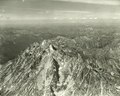
 Eldorado Peak and Marble Creek watershed (04b3f453-738a-418e-9ba6-94d5af02162f).tif 2,814 × 2,233; 9.8 MB
-
-

-
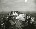
 Lake at base of Mount Shuksan (9026129b-9dbe-41be-87ef-99dfd53683d4).tif 2,239 × 2,788; 13.68 MB
-
-

-

-

-
-

-

-

-

-

-
-
-

-

-
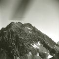
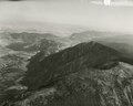
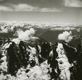 Picket Range, aerial view (89093ba5-7311-48e0-b0bd-da4d0782857e).tif 1,345 × 1,315; 3.22 MB
-
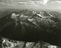
 Picket Range, long aerial shot from north (bf1a3a8b-46d0-4456-99cc-b7a195765ee1).tif 1,344 × 1,316; 2.86 MB
-
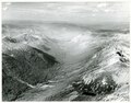
 Ross Lake looking south (19198dfb-c08e-4d5e-84ea-a5b0be0dff0a).tif 5,674 × 4,474; 145.26 MB
-
-
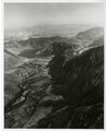
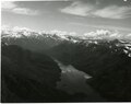
 Skagit River and Ross Lake (8e81a62e-3156-492a-bca6-07e3c4132a70).tif 2,832 × 2,269; 9.75 MB
-
 Small subalpine lake on Mount Shuksan (37198879-48b9-43be-a3ef-842d762bc955).tif 5,903 × 4,818; 162.74 MB
-
-

-
-

-

.jpg)
.jpg)