Category:2016 South Carolina election maps
Jump to navigation
Jump to search
States of the United States: Arizona · California · Colorado · Illinois · Iowa · Kentucky · Michigan · New York · North Carolina · Ohio · Pennsylvania · South Carolina
Media in category "2016 South Carolina election maps"
The following 9 files are in this category, out of 9 total.
-
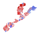
2016 SC-01.svg 1,100 × 975; 2.08 MB
-
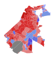
2016 SC-03.svg 1,170 × 1,200; 2.82 MB
-
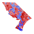
2016 SC-04.svg 590 × 385; 1.41 MB
-
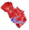
2016 SC-05.svg 321 × 291; 1.45 MB
-
2016 SC-06.svg 1,200 × 1,400; 3.5 MB
-
2016 SC-07.svg 336 × 343; 1,013 KB
-
2016 U.S. House elections in South Carolina by county.svg 801 × 637; 44 KB
-
2016-SC-02.svg 450 × 485; 991 KB
-
SC-16-senate-districts.svg 810 × 648; 1.69 MB


