Category:2012 maps of Africa
Jump to navigation
Jump to search
Temperate regions: North America · South America · Africa · Europe · Asia · Oceania – Polar regions: – Other regions:
| ← 2010 2011 2012 2013 2014 2015 2016 2017 2018 2019 → |
Subcategories
This category has only the following subcategory.
M
Media in category "2012 maps of Africa"
The following 23 files are in this category, out of 23 total.
-
Africa. LOC 2014588822.jpg 2,486 × 3,266; 1.1 MB
-
Africa. LOC 2014588822.tif 2,486 × 3,266; 23.23 MB
-
African Gabón y Guinea Ecuatorial 2012.png 677 × 681; 20 KB
-
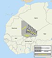
Azawad in context.JPG 600 × 669; 42 KB
-
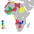
CAN 2012 Qualified Nations m.png 380 × 345; 15 KB
-
Central African Republic 2012 Battles-en.svg 1,606 × 1,109; 5.72 MB
-
Chamberlin trimetric projection SW.jpg 2,060 × 2,284; 1.07 MB
-
Cup of Nations 2012 African.png 677 × 681; 12 KB
-
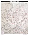
Darfur region, Sudan. LOC 2012592673.jpg 6,064 × 7,248; 9.1 MB
-
Darfur region, Sudan. LOC 2012592673.tif 6,064 × 7,248; 125.75 MB
-
Death-rate-from-opioid-use-who,Africa,2012.svg 850 × 600; 145 KB
-
Death-rate-smoking,Africa,2012.svg 850 × 699; 146 KB
-
Equatorial Guinea's ethnic groups.png 1,403 × 939; 131 KB
-
Lukuga river.jpg 1,150 × 1,095; 356 KB
-
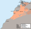
Morocco - Linguistic map.png 652 × 601; 19 KB
-
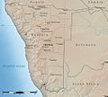
Namibia Natural Earth 1.jpg 1,015 × 914; 279 KB
-
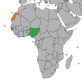
Nigeria Sahrawi Arab Democratic Republic Locator.svg 235 × 235; 1.41 MB
-
Rail network in Morocco.svg 4,882 × 3,750; 477 KB
-
Rhinocerotidae distribution map en.png 1,499 × 939; 95 KB
-
Sahara Occidentale.svg 581 × 573; 104 KB
-
Somalia country profile. LOC 2012594293.jpg 15,698 × 11,152; 34.17 MB
-
Somalia country profile. LOC 2012594293.tif 15,698 × 11,152; 500.86 MB
-
Western Cape topography labelled.svg 1,584 × 1,262; 3.78 MB


