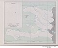
Category:1952 maps of Haiti
Jump to navigation
Jump to search
Countries of North America: Haiti · United States of America‡
Other territories: Puerto Rico
‡: partly located in North America
Other territories: Puerto Rico
‡: partly located in North America
| 1952 |
Media in category "1952 maps of Haiti"
This category contains only the following file.
-
Haiti - DPLA - 55c362189c5d76bc48e66f33a357ef30.jpg 4,287 × 3,585; 1.54 MB
