Category:1950s maps of Ontario
Jump to navigation
Jump to search
Provinces and territories of Canada: Ontario ·
Subcategories
This category has the following 4 subcategories, out of 4 total.
- 1950 maps of Ontario (1 F)
'
Media in category "1950s maps of Ontario"
This category contains only the following file.
-
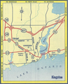 1958 Ontario Road Map - Kingston inset.png 433 × 537; 527 KB
