Category:1939 maps of Pennsylvania
Jump to navigation
Jump to search
States of the United States: Florida · Idaho · Illinois · Iowa · Louisiana · Maryland · Michigan · Nevada · North Carolina · Pennsylvania · South Dakota · Wyoming
| ← 1930 1934 1936 1937 1938 1939 → |
Media in category "1939 maps of Pennsylvania"
The following 2 files are in this category, out of 2 total.
-
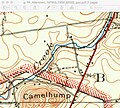
Johnston properties USGS Topo 1939.jpg 557 × 500; 366 KB
-
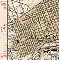
Map allentown-1939.jpg 365 × 373; 55 KB

