Category:1932 maps of Massachusetts
Jump to navigation
Jump to search
States of the United States: California · Illinois · Iowa · Massachusetts · Michigan · New York · North Carolina · Oregon · Virginia · Wisconsin – Washington, D.C.
Media in category "1932 maps of Massachusetts"
The following 4 files are in this category, out of 4 total.
-
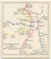
1932 BERy rapid transit map.png 3,500 × 4,051; 20.37 MB
-
Lines of the Worcester Street Railway, 1932.jpg 2,470 × 3,220; 3.56 MB


