Category:18th-century maps of England
Jump to navigation
Jump to search
Subcategories
This category has the following 54 subcategories, out of 54 total.
Media in category "18th-century maps of England"
The following 5 files are in this category, out of 5 total.
-
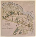
 Hundred of Codsheath in Kent 1778 map.png 461 × 568; 364 KB
-
 Agne court.jpg 600 × 558; 214 KB
-

-
-


