Category:18th-century maps of Central Europe
Jump to navigation
Jump to search
Subcategories
This category has the following 2 subcategories, out of 2 total.
Media in category "18th-century maps of Central Europe"
This category contains only the following file.
-
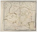
Europe centrale entre Luxembourg, Prague, Triesle, Ravenne et Grenoble - btv1b8490844g.jpg 9,934 × 8,784; 11.29 MB
