Category:1867 maps of Canada
Jump to navigation
Jump to search
Media in category "1867 maps of Canada"
The following 4 files are in this category, out of 4 total.
-
Canada 1867 Federal Election.svg 1,084 × 920; 297 KB
-
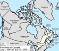
Canada provinces 1867-1870.png 1,000 × 864; 61 KB
-
Map of the Eastern British Provinces in North America at the time of Confederation 1867.jpg 1,600 × 1,300; 2.56 MB


