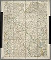
Category:1820s maps of North Rhine-Westphalia
Jump to navigation
Jump to search
Federal states of Germany:
Media in category "1820s maps of North Rhine-Westphalia"
The following 3 files are in this category, out of 3 total.
-
Nördliches Rheinland.jpg 6,438 × 7,506; 18.59 MB
-
Preussische Generalstabskarte Essen around 1820.jpg 9,866 × 8,417; 19.54 MB
-
Strangemannshof-Scholven.JPG 672 × 714; 133 KB


