Category:1798 maps of the Holy Roman Empire
Jump to navigation
Jump to search
Subcategories
This category has the following 2 subcategories, out of 2 total.
Media in category "1798 maps of the Holy Roman Empire"
The following 22 files are in this category, out of 22 total.
-
 Carte leurs provinces, tels qu'en 1789 hu.svg 785 × 579; 666 KB
-

-
 Carte montrant les Pays-Bas autrichiens et leurs provinces, tels qu'en 1789-es.svg 4,163 × 3,060; 794 KB
-
 Carte montrant les Pays-Bas autrichiens et leurs provinces, tels qu'en 1789.svg 3,903 × 2,869; 519 KB
-
 Erdbuchkarte 1789 Groß Flottbek.png 640 × 411; 653 KB
-
 Holy Roman Empire 1789-hu.svg 2,406 × 3,011; 2.7 MB
-
 Holy Roman Empire 1789.svg 2,406 × 3,011; 2.7 MB
-
 HRE Dioceses and Prince-Bishoprics 1789.jpg 1,035 × 1,280; 777 KB
-
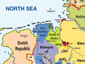 HRR 1789 EN detail.png 600 × 450; 153 KB
-
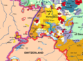 HRR 1789 EN rhine bank cut out.png 921 × 677; 530 KB
-
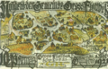
 HRR 1789 Fürstpropstei Berchtesgaden.png 441 × 359; 92 KB
-
 HRR 1789 Herzogtum Westfalen.png 248 × 211; 48 KB
-
 HRR 1789 Landgrafschaft Hessen-Kassel-2.png 402 × 569; 227 KB
-
 HRR 1789 Landgrafschaft Hessen-Kassel.png 430 × 424; 63 KB
-
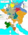
 HRR 1789.png 2,362 × 1,928; 935 KB
-
 Map of Holy Roman Empire 1789.svg 450 × 456; 928 KB
-
 Map of the Holy Roman Empire, 1789 en.png 2,650 × 2,160; 726 KB
-
 Rakouské Nizozemí v roce 1789.svg 883 × 647; 394 KB
-
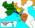 Reichsitalien1789-de.svg 1,345 × 1,088; 1.04 MB
-
 Reichsitalien1789-hu.svg 1,345 × 1,088; 770 KB
-
 Reichsitalien1789-la.svg 1,345 × 1,088; 770 KB
-
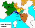
 Reichsitalien1789.svg 1,345 × 1,088; 1.05 MB


