Category:1790s maps of Sudan
Jump to navigation
Jump to search
Media in category "1790s maps of Sudan"
The following 2 files are in this category, out of 2 total.
-
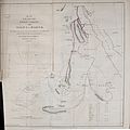 Map of the route of the Soudan Caravan from Assiut to Darfur.jpg 3,342 × 3,354; 3.53 MB
-
 Map - Special Collections University of Amsterdam - OTM- HB-KZL 33.21.13.tif 7,808 × 6,705; 149.78 MB
