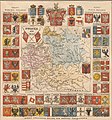
Category:1760s maps of Grand Duchy of Lithuania
Jump to navigation
Jump to search
Subcategories
This category has only the following subcategory.
P
Media in category "1760s maps of Grand Duchy of Lithuania"
The following 2 files are in this category, out of 2 total.
-
Карта воеводств Речи Посполитой с гербами.jpg 1,119 × 1,200; 466 KB
-
Provincia Litvana Ord.S.Francisci 2.jpg 2,669 × 2,120; 835 KB

