Category:1750s maps of New Jersey
Jump to navigation
Jump to search
States of the United States: California · Delaware · Florida · Georgia · Kentucky · Louisiana · Maine · Maryland · Massachusetts · Mississippi · New Hampshire · New Jersey · New York · North Carolina · Ohio · Pennsylvania · Rhode Island · South Carolina · Tennessee · Vermont · Virginia
Subcategories
This category has only the following subcategory.
Media in category "1750s maps of New Jersey"
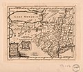
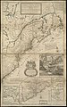
The following 7 files are in this category, out of 7 total.
-
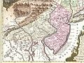 1756 Lotter Map of Eastern Pennsylvania, & New Jersey cropped from Geographicus-1756.jpg 3,600 × 2,700; 4.38 MB
-

-
-

-
-

-
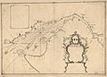 Plano de Philadelphia. LOC 74691685.jpg 8,769 × 6,288; 7.39 MB


.jpg)
.jpg)
