Category:1750s maps of Central America
Jump to navigation
Jump to search
Media in category "1750s maps of Central America"
The following 6 files are in this category, out of 6 total.
-
Mapa del Caribe de 1755.jpg 9,704 × 7,124; 11.09 MB
-
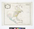
Carte de l'Amérique septentrionale, 1755. NYPL434525.tiff 5,155 × 4,408; 34.21 MB


