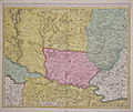
Category:1700s maps of Hungary
Jump to navigation
Jump to search
Subcategories
This category has only the following subcategory.
Media in category "1700s maps of Hungary"
The following 3 files are in this category, out of 3 total.
-
Banat1700.jpg 737 × 623; 157 KB
-
Regnorum Hungariae, Dalmatiae, Croatiae, Serviae et Principatus Transylvaniae, 1705.jpg 1,966 × 1,700; 4.8 MB
-
Hungary-ca1700.jpg 8,081 × 5,161; 9.5 MB


