Category:1590s maps of France
Jump to navigation
Jump to search
Subcategories
This category has the following 2 subcategories, out of 2 total.
Media in category "1590s maps of France"
The following 5 files are in this category, out of 5 total.
-
Le Daulphiné, Languedoc, Gascoigne, Provence et Xaintonge - btv1b8492972r.jpg 7,280 × 5,628; 7.41 MB
-
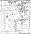
EdwardWright-MapforSailingtoAzores-1599.jpg 477 × 518; 96 KB


