ཇོ་མོ་གླང་མ
Jump to navigation
Jump to search
Deutsch: Der Mount Everest im Himalaya ist der höchste Berg der Erde.
English: Mount Everest (Sagarmatha in Nepali, Chomolungma in Tibetan) is the highest mountain on Earth and a part of the Himalayas. Mount Everest is situated in the border of Nepal and the People's Republic of China.
Español: El Monte Everest es la montaña más alta del mundo con 8848 metros sobre el nivel del mar. Está localizada en el Himalaya, en el continente asiático, y marca la frontera entre Nepal y la República Popular China.
Français : Le mont Everest est le plus haut sommet du monde, dans la chaîne de l'Himalaya. Il est situé sur la frontière entre le Népal et la Chine. En népalais, le sommet est appelé Sagarmatha (सगरमाथा, soit le front du ciel en sanskrit) et en tibétain, Chomolungma, Chomolangma ou Qomolangma (déesse de l'univers).
Italiano: L'Everest è la più alta montagna del mondo. Fa parte della catena dell'Himalaya. Si trova sul confine tra il Nepal e il Tibet. In lingua nepalese la montagna è chiamata Sagarmatha (सगरमाथा, Dio del cielo) mentre in tibetano Chomolangma (madre dell'universo).
Македонски: Монт Еверест (Сагармата или Чомолунгма) е највисока планина на светот, дел од Хималаите. Сместена е на границата помеѓу Непал и Кина.
Aerial views
[edit]-
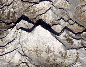
 Regional view from the International Space Station
 -
from space
-
high detailed animation of virtual flight in 1.280×720 pixel
-
Aerial view of Mount Everest from the south
-
2004 photo mosaic of the Himalayas with Makalu and Mount Everest from the International Space Station, Expedition 8
-
Satellite view of Everest, Khumbu Glacier, Khumbu Icefall
-
Satellite image
-
satellite image
-
2021 photo of Mount Everest, Lhotse, mountain Imja Tse, lake Imja Tsho (in South of the massif). South is up.
Photographs of peak
[edit]-
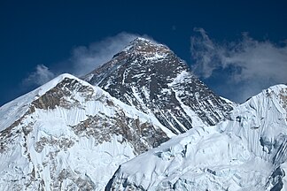
Mount Everest from the Kala Patthar. View from Southwest (Nepal). (Panoramic)
-
from Kala Patthar w/ Nuptse Nup II
-
from Kala Patthar with Nuptse
-
from Kala Patthar
-
from Kala Patthar
-
from Kala Patthar
-
from Kala Patthar
-
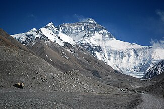
North face
-
North face
-
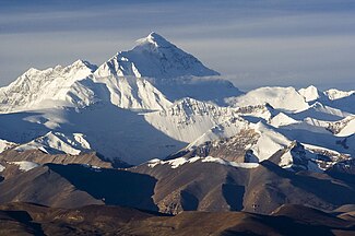
Everest from Tibet
-
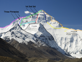
North face climbing routes
-
Everest Base Camp (Nepal) from Kala Patthar
-
View on the Mt. Everest from the Rongbuk Monastery.
-
Everest from Rongbuk
-
Mount Everest (left), Lhotse (centre) and Ama Dablam
-
Morning view, Mount Everest from its southern side
-
Everest and Lhotse from the south.
-
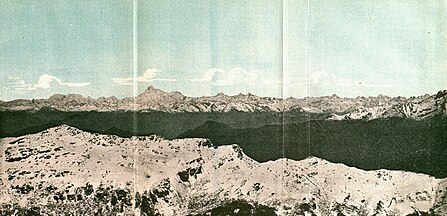
1890 graphic with the Himalayas, including Gaurisankar (Mount Everest) in the distance from the east
-
Annotated image of Everest and surroundings as seen from Gokyo Ri.
-
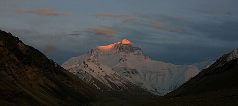
Sunset lights up the peak of Everest's North face
-
monastery
Summit
[edit]Details
[edit]-
Everest Basecamp (Nepal) from Khumbu Icefall
-
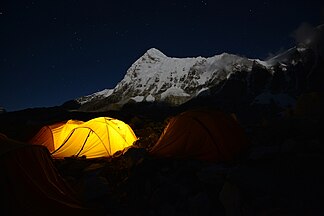
base camp
-
base camp
-
Stupa at EBC (Nepal)
-
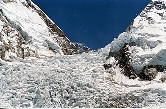
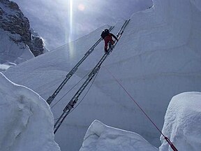
Khumbu-Icefall
-
Khumbu-Icefall
-
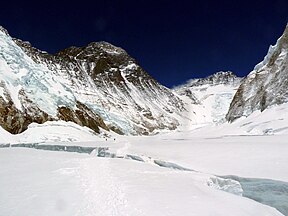
Western Cwm and Lhotse
-
Camps visible on northeast ridge as seen from north base camp area, Tibet on 20 May 2011
-
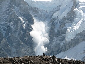
Avalanche
-
Climbers below the Geneva Spur
-
The Western Cwm ("Coom"), with Everest on the left and Lhotse to the right
-
Looking up along the southern ridgeline, the face of the Hillary Step is visible.
-
Base camp


