File:Wiltshire outline map with UK.png
Jump to navigation
Jump to search

Size of this preview: 504 × 600 pixels. Other resolutions: 202 × 240 pixels | 600 × 714 pixels.
Original file (600 × 714 pixels, file size: 326 KB, MIME type: image/png)
Captions
Captions
Add a one-line explanation of what this file represents

|
This locator map image could be re-created using vector graphics as an SVG file. This has several advantages; see Commons:Media for cleanup for more information. If an SVG form of this image is available, please upload it and afterwards replace this template with
{{vector version available|new image name}}.
It is recommended to name the SVG file “Wiltshire outline map with UK.svg”—then the template Vector version available (or Vva) does not need the new image name parameter. |
Summary
[edit]
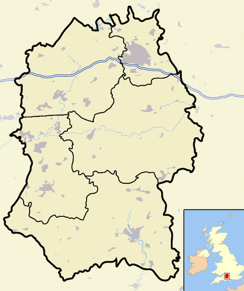
| Description | Map of the county of Wiltshire, England, United Kingdom, showing the (1974-2009 district boundaries). |
| Date | |
| Source | Own work |
| Author | Jhamez84 |
Licensing
[edit]
| I, the copyright holder of this work, release this work into the public domain. This applies worldwide. In some countries this may not be legally possible; if so: I grant anyone the right to use this work for any purpose, without any conditions, unless such conditions are required by law. |
File history
Click on a date/time to view the file as it appeared at that time.
| Date/Time | Thumbnail | Dimensions | User | Comment | |
|---|---|---|---|---|---|
| current | 18:46, 20 November 2007 | | 600 × 714 (326 KB) | Jza84 (talk | contribs) | {{Information |Description=Map of the county of Wiltshire, England, United Kingdom |Source=self-made |Date=November 2007 |Author= Jhamez84 |Permission=See below |other_versions= }} |
You cannot overwrite this file.
File usage on Commons
There are no pages that use this file.
File usage on other wikis
The following other wikis use this file:
- Usage on bn.wikipedia.org
- Usage on en.wikipedia.org
- Usage on es.wikipedia.org
- Usage on hy.wikipedia.org
- Usage on ml.wikipedia.org
- Usage on www.wikidata.org
- Usage on zh.wikipedia.org