File:Warszawa outline with districts v4.svg
Jump to navigation
Jump to search

Size of this PNG preview of this SVG file: 601 × 600 pixels. Other resolutions: 240 × 240 pixels | 481 × 480 pixels | 769 × 768 pixels | 1,026 × 1,024 pixels | 2,052 × 2,048 pixels | 1,065 × 1,063 pixels.
Original file (SVG file, nominally 1,065 × 1,063 pixels, file size: 64 KB)
Captions
Captions
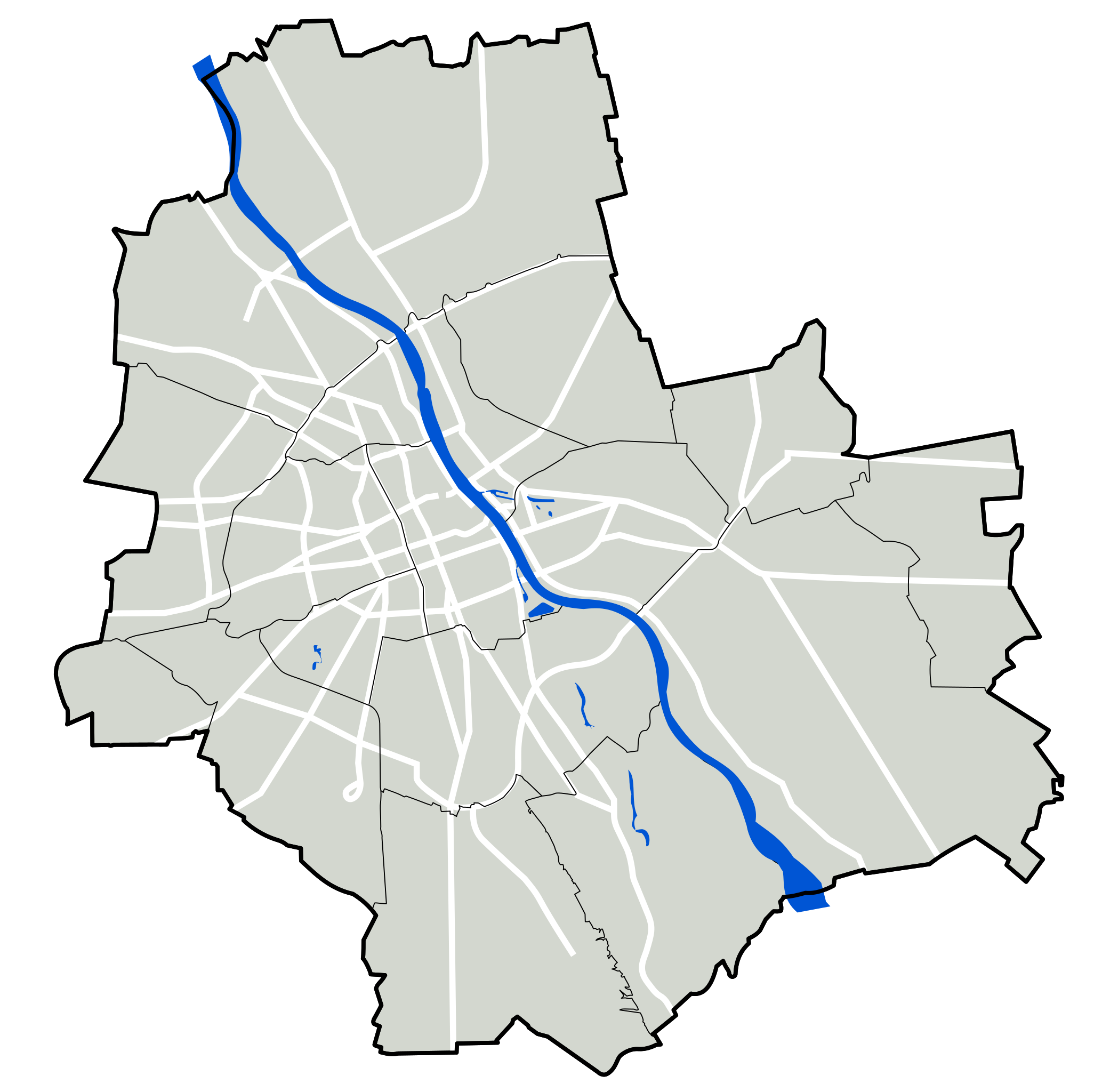
Map of Warsaw
Summary
[edit]
| Description |
Polski: Mapa Warszawy - podkład lokalizacyjny |
| Date | 20 March 2007 (original upload date) |
| Source | Transferred from pl.wikipedia; transferred to Commons by User:Masur using CommonsHelper. |
| Author | Original uploader was Mfloryan at pl.wikipedia |
| Permission (Reusing this file) |
CC-BY-2.5. |
Licensing
[edit]
Mfloryan at pl.wikipedia, the copyright holder of this work, hereby publishes it under the following license:
This file is licensed under the Creative Commons Attribution 2.5 Generic license.
Attribution: Mfloryan at pl.wikipedia
- You are free:
- to share – to copy, distribute and transmit the work
- to remix – to adapt the work
- Under the following conditions:
- attribution – You must give appropriate credit, provide a link to the license, and indicate if changes were made. You may do so in any reasonable manner, but not in any way that suggests the licensor endorses you or your use.
Original upload log
[edit]
The original description page was here. All following user names refer to pl.wikipedia.
- 2007-03-20 20:24 Mfloryan 1065×1063× (74416 bytes)
- 2007-03-20 20:23 Mfloryan 1065×1063× (119251 bytes)
- 2007-03-20 20:22 Mfloryan 1065×1063× (119251 bytes)
- 2007-03-20 20:21 Mfloryan 1065×1063× (110365 bytes) {{Grafika | Opis = Mapa Warszawy - podkład lokalizacyjny - wersja tymczasowa, po zaakceptowaniu do przeniesienia na Commons. | Źródło = | Data =2007-03-11 | Autor =[[User:Mfloryan|Marcin Floryan]] |Warunki udostępnienia ={{self|cc-by-2.5}} |Inne
File history
Click on a date/time to view the file as it appeared at that time.
| Date/Time | Thumbnail | Dimensions | User | Comment | |
|---|---|---|---|---|---|
| current | 09:55, 24 October 2012 | | 1,065 × 1,063 (64 KB) | Zaufany (talk | contribs) | Dodanie kawałka Trasy Mostu Marii Skłodowskiej-Curie wraz z mostem. |
| 19:02, 10 January 2012 |  | 1,065 × 1,063 (74 KB) | Hiuppo (talk | contribs) | Dodana trasa S-8 i kontynuacja Powstańców Śląskich. Do dodania wkrótce Most Skłodowskiej-Curie i dojazdy. | |
| 08:16, 20 January 2010 |  | 1,065 × 1,063 (73 KB) | File Upload Bot (Magnus Manske) (talk | contribs) | {{BotMoveToCommons|pl.wikipedia|year={{subst:CURRENTYEAR}}|month={{subst:CURRENTMONTHNAME}}|day={{subst:CURRENTDAY}}}} {{Information |Description={{pl|pl:Category:Maps of Warsaw pl:Category:SVG maps of Warsaw}} |Source=Transferred from [http: |
You cannot overwrite this file.
File usage on Commons
There are no pages that use this file.
File usage on other wikis
The following other wikis use this file:
- Usage on ba.wikipedia.org
- Usage on eo.wikipedia.org
- Pola Radio
- Varsovia Kultur- kaj Sciencpalaco
- Varsovia geto
- Universitato de Varsovio
- Pole Mokotowskie (metrostacio)
- Sejmo (Pollando)
- Senato (Pollando)
- Tombo de Zamenhof
- Hebrea tombejo de Varsovio
- Muzeo pri Azio kaj Pacifiko
- Eŭropa agentejo por la mastrumado de kunagado ĉe la eksteraj limoj de la membroŝtatoj de Eŭropa Unio
- Scienca Pikniko
- V Liceum Ogólnokształcące im. księcia Józefa Poniatowskiego w Warszawie
- Muzeo de la Varsovia Ribelo
- Monumento al Mortfalintaj kaj Murditaj Rus-Oriente
- Monumento al Konsilantaro por Helpo al Judoj
- Monumento al Eta Insurekciano en Varsovio
- Centro de Scienco Koperniko
- Hotelo Polonia (Varsovio)
- Tombejo Powązki en Varsovio
- Monumento al Frederiko Ŝopen en Varsovio
- Pola Scienca Akademio
- KARTA-Centro
- Instituto pri Nacia Memoro
- Nacia Stadiono en Varsovio
- Nacia Muzeo en Varsovio
- Katin-Muzeo en Varsovio
- Monumento de Varsovia Ribelo
- Złote Tarasy
- Warszawa Centralna (fervoja stacio)
- Monumento al Ronald Reagan en Varsovio
- Monumento de Volinia Masakro en Varsovio
- Kabaty (metrostacio)
- Białołęka
- Bielany
- Mokotów
- Ochota
- Praga-Południe
- Praga-Północ
- Rembertów
- Targówek
- Ursus (administra parto de Varsovio)
- Ursynów
- Wawer
- Wesoła (administra parto de Varsovio)
- Włochy (administra parto de Varsovio)
- Wola (administra parto de Varsovio)
- Natolin (metrostacio)
- Imielin (metrostacio)
View more global usage of this file.