File:Wappen Landkreis Kelheim.svg
Jump to navigation
Jump to search

Size of this PNG preview of this SVG file: 531 × 574 pixels. Other resolutions: 222 × 240 pixels | 444 × 480 pixels | 710 × 768 pixels | 947 × 1,024 pixels | 1,895 × 2,048 pixels.
Original file (SVG file, nominally 531 × 574 pixels, file size: 9 KB)
Captions
Captions
Add a one-line explanation of what this file represents
| Description |
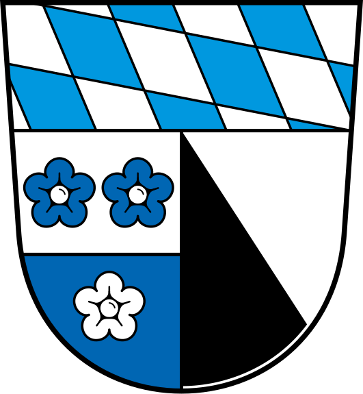
Deutsch: Wappen des Landkreises Kelheim.
English: Coat of Arms of district Kelheim. |
|||
| References | ||||
| Date | ||||
| Source | Own work based on: Wappen Landkreis Kelheim.png | |||
| Author |
Vector: |
|||
| Permission (Reusing this file) |
|
|||
| SVG development | This coat of arms was created with Adobe Illustrator. |

File history
Click on a date/time to view the file as it appeared at that time.
| Date/Time | Thumbnail | Dimensions | User | Comment | |
|---|---|---|---|---|---|
| current | 09:25, 26 October 2022 | | 531 × 574 (9 KB) | Maxwxyz (talk | contribs) | Clean up and correct colors |
| 15:10, 18 July 2022 |  | 531 × 574 (14 KB) | Maxwxyz (talk | contribs) | Clean up and correct colors | |
| 09:49, 22 April 2015 |  | 544 × 581 (9 KB) | Hirsekeks (talk | contribs) | {{Information |Description ={{de|1=Wappen des Landkreises Kelheim.}} {{en|1=Coat of Arms of district Kelheim.}} |Source =https://commons.wikimedia.org/wiki/File:Wappen_Landkreis_Kelheim.pn... |
You cannot overwrite this file.
File usage on Commons
More than 100 pages use this file. The following list shows the first 100 pages that use this file only. A full list is available.
- Landkreis Kelheim
- File:Altmühlmündung.jpg
- File:Befreiungshalle, Donau, Ehemalige Franziskanerkirche und Ludwigskanal.jpg
- File:Befreiungshalle bei Kelheim.jpg
- File:Befreiungshalle bei Kelheim2.jpg
- File:Blautopf (Essing).JPG
- File:Blautopf (Essing)1.JPG
- File:Blautopf (Essing)2.JPG
- File:Blautopf (Essing)3.JPG
- File:Blautopf (Essing) Abfluss.JPG
- File:Blautopf (Essing) Austritsstelle.JPG
- File:Donaudurchbruch Weltenburger Enge.jpg
- File:Karstquelle Gundlfing.JPG
- File:Karstquelle Prunn.JPG
- File:Karstquelle Prunn1.JPG
- File:Karstquelle Prunn2.JPG
- File:Kloster Trauntal.jpg
- File:Kloster Weltenburg1.jpg
- File:Ludwigskanal.jpg
- File:Petrusquelle.JPG
- File:Petrusquelle1.JPG
- File:Petrusquelle2.JPG
- File:Petrusquelle3.JPG
- File:Petrusquelle Abfluss.JPG
- File:Wappen Landkreis Kelheim.png
- File:Weltenburg Donaudurchbruch 011.jpg
- File:Weltenburg Donaudurchbruch 017.jpg
- File:Wipfelsfurt Weltenburger Enge.jpg
- Template:Landkreis Kelheim decade
- Template:Landkreis Kelheimyear
- Template:Mainburg decade
- Template:Municipalities in Landkreis Kelheim
- Category:2015 in Landkreis Kelheim
- Category:2019 in Landkreis Kelheim
- Category:Abensberg
- Category:Attenhofen
- Category:Bad Abbach
- Category:Biburg (Niederbayern)
- Category:Building interiors in Kelheim
- Category:Church elements in Kelheim
- Category:Culture of Landkreis Kelheim
- Category:Culture of Mainburg
- Category:Districts of Abensberg
- Category:Districts of Attenhofen
- Category:Districts of Bad Abbach
- Category:Districts of Biburg (Niederbayern)
- Category:Districts of Elsendorf
- Category:Districts of Essing
- Category:Districts of Hausen (Niederbayern)
- Category:Districts of Herrngiersdorf
- Category:Districts of Kelheim
- Category:Districts of Kirchdorf (Hallertau)
- Category:Districts of Langquaid
- Category:Districts of Mainburg
- Category:Districts of Neustadt an der Donau
- Category:Districts of Painten
- Category:Districts of Riedenburg
- Category:Districts of Rohr in Niederbayern
- Category:Districts of Saal an der Donau
- Category:Districts of Siegenburg
- Category:Districts of Volkenschwand
- Category:Districts of Wildenberg
- Category:Dürnbucher Forst
- Category:Elsendorf
- Category:Essing
- Category:Frauenforst
- Category:Gundlfing
- Category:Hacklberg
- Category:Hausen (Niederbayern)
- Category:Herrngiersdorf
- Category:History of Mainburg
- Category:Ihrlerstein
- Category:Interiors of churches in Kelheim
- Category:Kelheim
- Category:Kirchdorf (Hallertau)
- Category:Landkreis Kelheim
- Category:Landkreis Kelheim in the 2010s
- Category:Landkreis Kelheim in the 21st century
- Category:Langquaid
- Category:Mainburg
- Category:Mainburg by century
- Category:Mainburg by decade
- Category:Mainburg by year
- Category:Mainburg in the 2010s
- Category:Mainburg in the 21st century
- Category:Maps of Landkreis Kelheim
- Category:Municipalities in Landkreis Kelheim in the 21st century
- Category:Neustadt an der Donau
- Category:Painten
- Category:People of Landkreis Kelheim
- Category:Postcards of Kelheim
- Category:Religion in Landkreis Kelheim
- Category:Riedenburg
- Category:Rohr in Niederbayern
- Category:Saal an der Donau
- Category:Siegenburg
- Category:Teugn
- Category:Train (Niederbayern)
- Category:Views of Landkreis Kelheim
- Category:Volkenschwand
.JPG)
1.JPG)
2.JPG)
3.JPG)
_Abfluss.JPG)
_Austritsstelle.JPG)
View more links to this file.
File usage on other wikis
The following other wikis use this file:
- Usage on an.wikipedia.org
- Usage on ar.wikipedia.org
- Usage on ca.wikipedia.org
- Usage on ceb.wikipedia.org
- Usage on cs.wikipedia.org
- Usage on da.wikipedia.org
View more global usage of this file.