File:Uzbekistan location map.svg

Original file (SVG file, nominally 2,114 × 1,397 pixels, file size: 306 KB)
Captions
Captions
Summary
[edit]| Description |
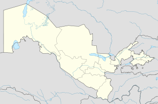
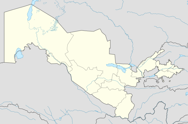
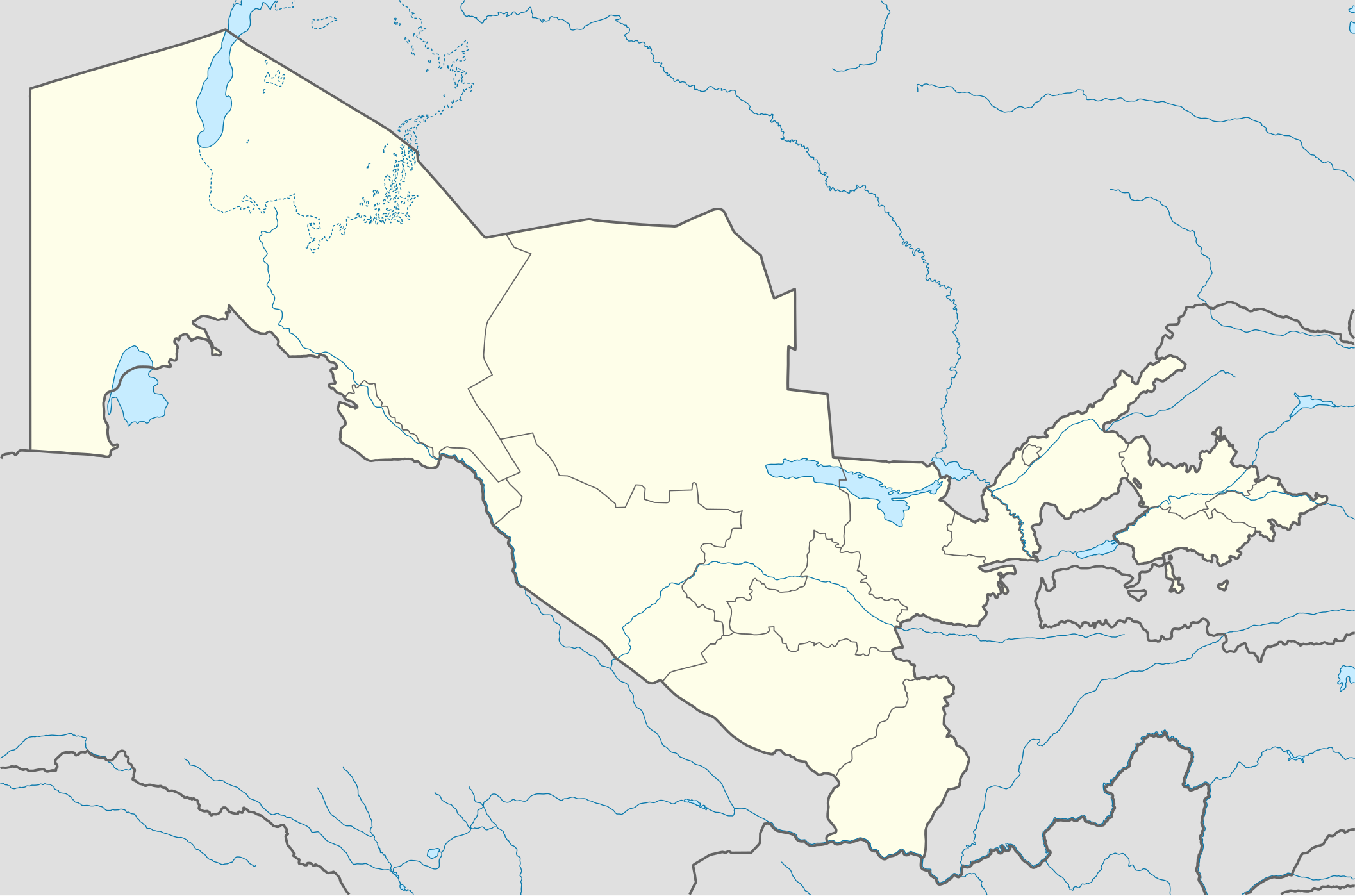
Deutsch: Positionskarte von Usbekistan
Quadratische Plattkarte, N-S-Streckung 130 %. Geographische Begrenzung der Karte:
English: Location map of Uzbekistan
Equirectangular projection, N/S stretching 130 %. Geographic limits of the map:
|
|
| Date | ||
| Source |
Own work, using
|
|
| Author | NordNordWest | |
| Permission (Reusing this file) |
This file is licensed under the Creative Commons Attribution-Share Alike 3.0 Germany license.
 This file is licensed under the Creative Commons Attribution-Share Alike 3.0 Germany license.
|


|
This map has been made or improved in the German Kartenwerkstatt (Map Lab). You can propose maps to improve as well.
|
File history
Click on a date/time to view the file as it appeared at that time.
| Date/Time | Thumbnail | Dimensions | User | Comment | |
|---|---|---|---|---|---|
| current | 18:49, 1 August 2010 | | 2,114 × 1,397 (306 KB) | NordNordWest (talk | contribs) | upd |
| 19:14, 27 November 2009 |  | 2,114 × 1,397 (419 KB) | NordNordWest (talk | contribs) | =={{int:filedesc}}== {{Information |Description= {{de|Positionskarte von Usbekistan}} Quadratische Plattkarte, N-S-Streckung 130 %. Geographische Begrenzung der Karte: * N: 45.9° N * S: 36.8° N * W: 55.6° O * O: 73.5° O {{en|Locatio |
You cannot overwrite this file.
File usage on Commons
The following 17 pages use this file:
- User:NordNordWest/Gallery/Location maps
- File:Andijon Viloyati in Uzbekistan.svg
- File:Buxoro Viloyati in Uzbekistan.svg
- File:Farg'ona Viloyati in Uzbekistan.svg
- File:Jizzax Viloyati in Uzbekistan.svg
- File:Namangan Viloyati in Uzbekistan.svg
- File:Navoiy Viloyati in Uzbekistan.svg
- File:Qaraqalpaqstan Respublikasi in Uzbekistan.svg
- File:Qashqadaryo Viloyati in Uzbekistan.svg
- File:Samarqand Viloyati in Uzbekistan.svg
- File:Sirdaryo Viloyati in Uzbekistan.svg
- File:Surxondaryo Viloyati in Uzbekistan.svg
- File:Toshkent Shahri in Uzbekistan.svg
- File:Toshkent Shahri in Uzbekistan (special marker).svg
- File:Toshkent Viloyati in Uzbekistan.svg
- File:Uzbekistán en Wikiviajes.svg
- File:Xorazm Viloyati in Uzbekistan.svg
.svg)
File usage on other wikis
The following other wikis use this file:
- Usage on als.wikipedia.org
- Usage on an.wikipedia.org
- Usage on ar.wikipedia.org
- Usage on azb.wikipedia.org
- Usage on az.wikipedia.org
- Daşkənd
- Səmərqənd
- Buxara
- Fərqanə
- Nukus
- Bibixanım məscidi
- Şablon:Yer xəritəsi Özbəkistan
- Əfrasiyab (qədim şəhər)
- Xivə
- Kokand
- Əndican
- Termez
- Paykənd
- Mərğilan
- Registan meydanı (Səmərqənd)
- Axsikənd
- Baysun
- Əngren
- Paltau çayı
- Çirçik çayı
- Ağbulaq (Çatkal)
- Qaraarça çayı
- Qızılsu çayı (Çirçik)
- Pskem
- Cizak (şəhər)
- Daşkənd Beynəlxalq Hava Limanı
- Nəməngan
- Xanabad (Özbəkistan)
- Mübarək (şəhər)
- Yanqıyol
- Kağan (Özbəkistan)
- Gicduvan
View more global usage of this file.