File:United States Administrative Divisions Territories.svg
Jump to navigation
Jump to search

Size of this PNG preview of this SVG file: 800 × 495 pixels. Other resolutions: 320 × 198 pixels | 640 × 396 pixels | 1,024 × 633 pixels | 1,280 × 791 pixels | 2,560 × 1,583 pixels | 959 × 593 pixels.
Original file (SVG file, nominally 959 × 593 pixels, file size: 97 KB)
Captions
Captions
Add a one-line explanation of what this file represents
| Description |
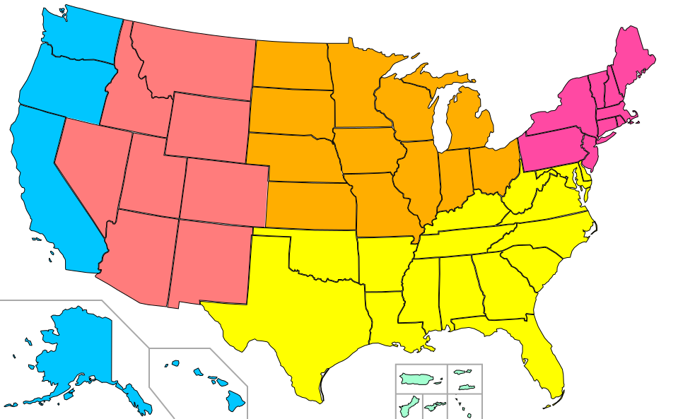
English: United States Administrative Divisions, with AK, HI, and US territories, and a line to allow labeling of American Samoa. |
||||||||
| Date | |||||||||
| Source | Based on File:Blank_US_Map.svg (GFDL User:Theshibboleth, User:Fibonacci, User:AMK1211, User:Howcheng) and file:United_States_Administrative_Divisions_unnumbered.png (GFDL en:User:Geuiwogbil, en:User:Scifiintel) | ||||||||
| Author | Nandhp | ||||||||
| Permission (Reusing this file) |
|
||||||||
| Other versions | Vector version of File:United_States_Administrative_Divisions_unnumbered.png. See also File:United_States_Administrative_Divisions.svg. |

File history
Click on a date/time to view the file as it appeared at that time.
| Date/Time | Thumbnail | Dimensions | User | Comment | |
|---|---|---|---|---|---|
| current | 04:33, 3 September 2016 | | 959 × 593 (97 KB) | FallingGravity (talk | contribs) | remove stray line |
| 14:40, 8 June 2010 |  | 959 × 593 (108 KB) | Nandhp (talk | contribs) | Make cities, state/territory boundaries easier to see. (not all changes applicable to all three images) | |
| 13:18, 30 May 2009 |  | 959 × 593 (103 KB) | Nandhp (talk | contribs) | {{Information |Description={{en|1=United States Administrative Divisions, with AK, HI, and US territories, and a line to allow labeling of American Samoa.}} |Source=Based on File:Blank_US_Map.svg (GFDL User:Theshibboleth, User:Fibonacci, [[Us |
You cannot overwrite this file.
File usage on Commons
The following page uses this file:
File usage on other wikis
The following other wikis use this file:
- Usage on en.wikipedia.org
- User:BuffaloBob
- User:Randomness1337
- User:Hersfold/Userboxes
- User:Hersfold/Userboxes/USTravel
- User:Griegomd
- User:Frmorrison
- User:Hersfold/Adopt/Templates
- User:Jclemens
- User:Ilikeflylady
- User:Leujohn/Adoption/Templates 1
- User:Thehelpfulone/Adopt/Templates
- User:Cymruman
- User:Drewguy12345
- User talk:Pdfpdf/Archive18
- User:Jaredphillips
- User:WayneyP
- User:Griegoteo
- User:Missionedit/Adoption/Hisashiyarouin
- User:Missionedit/Adoption/Jtamad
- User:Missionedit/Adoption/Scribbleink
- User:Missionedit/Adoption/WelshWonderWoman
- User:Hobochicken1
- User:Missionedit/Adoption/FiendYT
- User:FallRiverTyler
- User:BrainJones84
- Wikipedia:Userboxes/Travel/United States
- User:Daurgo2001
- User:BuffaloBob/World travels
- Usage on id.wikipedia.org
- Usage on ja.wikipedia.org
- Template:US Census Labeled Map
- アメリカ合衆国各州の都市圏の一覧の一覧
- アイオワ州の都市圏の一覧
- アイダホ州の都市圏の一覧
- アーカンソー州の都市圏の一覧
- アラスカ州の都市圏の一覧
- アラバマ州の都市圏の一覧
- アリゾナ州の都市圏の一覧
- イリノイ州の都市圏の一覧
- インディアナ州の都市圏の一覧
- ウィスコンシン州の都市圏の一覧
- ウェストバージニア州の都市圏の一覧
- オクラホマ州の都市圏の一覧
- オハイオ州の都市圏の一覧
- オレゴン州の都市圏の一覧
- カリフォルニア州の都市圏の一覧
- カンザス州の都市圏の一覧
- ケンタッキー州の都市圏の一覧
- コネチカット州の都市圏の一覧
- コロラド州の都市圏の一覧
View more global usage of this file.