File:Une cabane dans un arbre, Chemin de Lazare (Mas Rillier).jpg
Original file (4,032 × 3,024 pixels, file size: 10.69 MB, MIME type: image/jpeg)
Captions
Summary
[edit]DescriptionUne cabane dans un arbre, Chemin de Lazare (Mas Rillier).jpg |
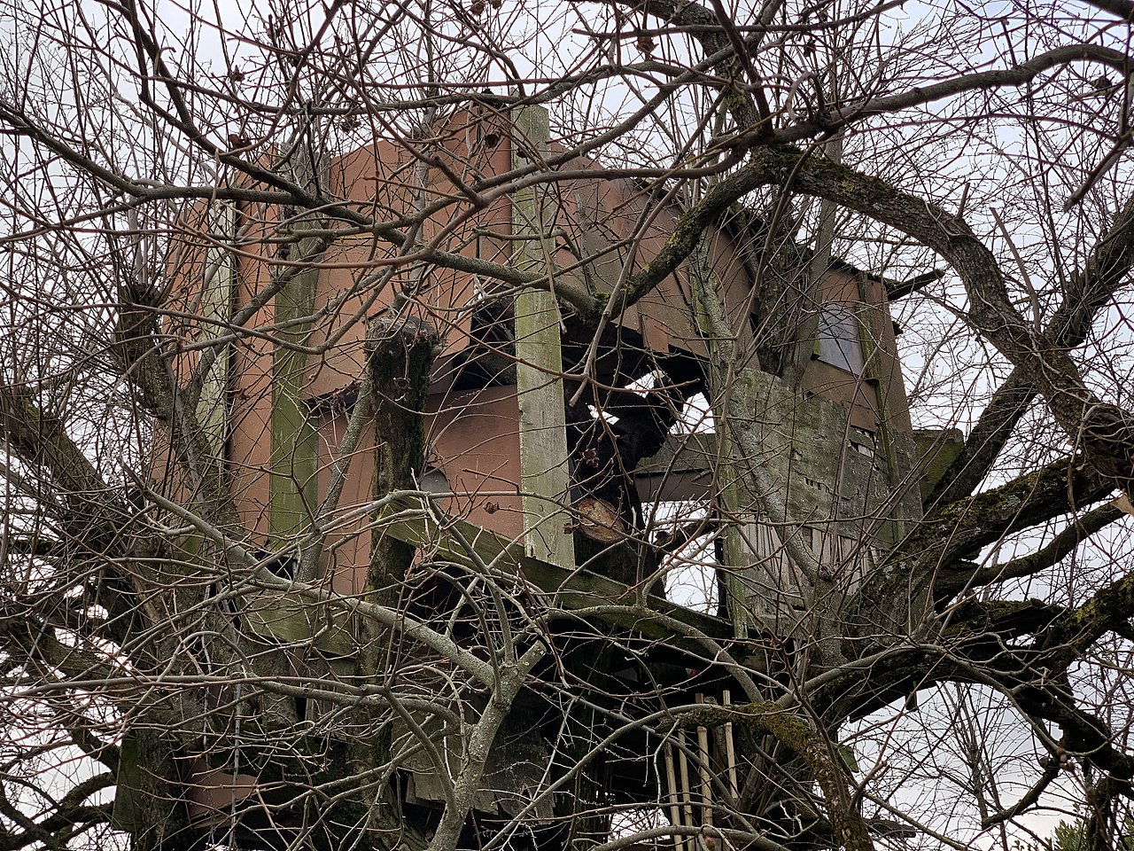
Français : Une cabane dans un arbre, Chemin de Lazare (Mas Rillier). |
|||||||||||||||||
Date | ||||||||||||||||||
Source | Own work | |||||||||||||||||
Author |
creator QS:P170,Q42790984 |
Camera location | 45° 49′ 55.29″ N, 4° 56′ 48.71″ E | View this and other nearby images on: OpenStreetMap | 45.832025; 4.946864 |
---|
Licensing
[edit]This file is made available under the Creative Commons CC0 1.0 Universal Public Domain Dedication. | |
The person who associated a work with this deed has dedicated the work to the public domain by waiving all of their rights to the work worldwide under copyright law, including all related and neighboring rights, to the extent allowed by law. You can copy, modify, distribute and perform the work, even for commercial purposes, all without asking permission.
http://creativecommons.org/publicdomain/zero/1.0/deed.enCC0Creative Commons Zero, Public Domain Dedicationfalsefalse |
This image has been assessed using the Quality image guidelines and is considered a Quality image.
العربية ∙ جازايرية ∙ беларуская ∙ беларуская (тарашкевіца) ∙ български ∙ বাংলা ∙ català ∙ čeština ∙ Cymraeg ∙ Deutsch ∙ Schweizer Hochdeutsch ∙ Zazaki ∙ Ελληνικά ∙ English ∙ Esperanto ∙ español ∙ eesti ∙ euskara ∙ فارسی ∙ suomi ∙ français ∙ galego ∙ עברית ∙ हिन्दी ∙ hrvatski ∙ magyar ∙ հայերեն ∙ Bahasa Indonesia ∙ italiano ∙ 日本語 ∙ Jawa ∙ ქართული ∙ 한국어 ∙ kurdî ∙ Lëtzebuergesch ∙ lietuvių ∙ македонски ∙ മലയാളം ∙ मराठी ∙ Bahasa Melayu ∙ Nederlands ∙ Norfuk / Pitkern ∙ polski ∙ português ∙ português do Brasil ∙ rumantsch ∙ română ∙ русский ∙ sicilianu ∙ slovenčina ∙ slovenščina ∙ shqip ∙ српски / srpski ∙ svenska ∙ தமிழ் ∙ తెలుగు ∙ ไทย ∙ Tagalog ∙ toki pona ∙ Türkçe ∙ українська ∙ vèneto ∙ Tiếng Việt ∙ 中文 ∙ 中文(简体) ∙ 中文(繁體) ∙ +/− |
File history
Click on a date/time to view the file as it appeared at that time.
Date/Time | Thumbnail | Dimensions | User | Comment | |
---|---|---|---|---|---|
current | 18:52, 11 February 2021 | 4,032 × 3,024 (10.69 MB) | Benoît Prieur (talk | contribs) | PyCommonist upload: Une cabane dans un arbre, Chemin de Lazare (Mas Rillier).jpg |
You cannot overwrite this file.
File usage on Commons
The following 3 pages use this file:
Metadata
This file contains additional information such as Exif metadata which may have been added by the digital camera, scanner, or software program used to create or digitize it. If the file has been modified from its original state, some details such as the timestamp may not fully reflect those of the original file. The timestamp is only as accurate as the clock in the camera, and it may be completely wrong.
Camera manufacturer | Apple |
---|---|
Camera model | iPhone XS |
Exposure time | 1/85 sec (0.011764705882353) |
F-number | f/2.4 |
ISO speed rating | 16 |
Date and time of data generation | 16:39, 10 February 2021 |
Lens focal length | 6 mm |
Latitude | 45° 49′ 55.29″ N |
Longitude | 4° 56′ 48.71″ E |
Altitude | 300.796 meters above sea level |
Orientation | Normal |
Horizontal resolution | 72 dpi |
Vertical resolution | 72 dpi |
Software used | 14.4 |
File change date and time | 16:39, 10 February 2021 |
Y and C positioning | Centered |
Exposure Program | Normal program |
Exif version | 2.32 |
Date and time of digitizing | 16:39, 10 February 2021 |
Meaning of each component |
|
APEX shutter speed | 6.4075166508088 |
APEX aperture | 2.5260688116622 |
APEX brightness | 6.5652036627723 |
APEX exposure bias | 0 |
Metering mode | Pattern |
Flash | Flash did not fire, auto mode |
DateTimeOriginal subseconds | 464 |
DateTimeDigitized subseconds | 464 |
Supported Flashpix version | 1 |
Color space | Uncalibrated |
Sensing method | One-chip color area sensor |
Scene type | A directly photographed image |
Exposure mode | Auto exposure |
White balance | Auto white balance |
Focal length in 35 mm film | 52 mm |
Scene capture type | Standard |
Speed unit | Kilometers per hour |
Speed of GPS receiver | 0.78161032939116 |
Reference for direction of image | True direction |
Direction of image | 294.66867067468 |
Reference for bearing of destination | True direction |
Bearing of destination | 294.66867067468 |
GPS date | 10 February 2021 |
Structured data
Items portrayed in this file
depicts
10 February 2021
45°49'55.29000"N, 4°56'48.71000"E
image/jpeg
a19ab74587d8234dddfa429fc5a3350ad3953b93
11,209,794 byte
3,024 pixel
4,032 pixel
- Files with coordinates missing SDC location of creation
- CC-Zero
- Self-published work
- Photographs by Benoît Prieur
- 2021 images by Benoît Prieur
- Auvergne-Rhône-Alpes photographs taken on 2021-02-10
- Images of Miribel by Benoît Prieur
- Uploaded with PyCommonist
- Quality images of Miribel (Ain)
- Quality images of Ain
- Quality images by Benoît Prieur
- Quality images of buildings in France
- Quality images of France by Benoît Prieur
- Quality images of Ain by Benoît Prieur
- 2021 quality images by Benoît Prieur
- Quality images of Mas Rillier
- Quality images
- Quality images missing SDC creator