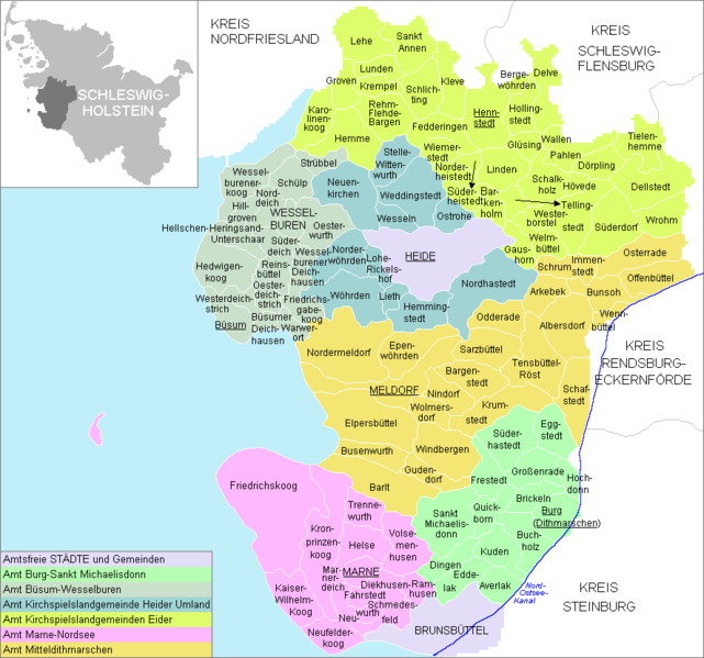
File:Uebersicht-HEI.png
Jump to navigation
Jump to search

Size of this preview: 641 × 599 pixels. Other resolutions: 257 × 240 pixels | 514 × 480 pixels | 888 × 830 pixels.
Original file (888 × 830 pixels, file size: 32 KB, MIME type: image/png)
Captions
Captions
Add a one-line explanation of what this file represents
Created by Geograv 10:31, 19. Apr 2005

|
Permission is granted to copy, distribute and/or modify this document under the terms of the GNU Free Documentation License, Version 1.2 or any later version published by the Free Software Foundation; with no Invariant Sections, no Front-Cover Texts, and no Back-Cover Texts. A copy of the license is included in the section entitled GNU Free Documentation License. |
| This file is licensed under the Creative Commons Attribution-Share Alike 3.0 Unported license. | ||
| ||
| This licensing tag was added to this file as part of the GFDL licensing update. |
File history
Click on a date/time to view the file as it appeared at that time.
| Date/Time | Thumbnail | Dimensions | User | Comment | |
|---|---|---|---|---|---|
| current | 08:38, 2 January 2009 | | 888 × 830 (32 KB) | ClausG (talk | contribs) | Changes for 2009-01-01 |
| 11:25, 7 September 2008 |  | 888 × 830 (32 KB) | ClausG (talk | contribs) | reuploaded lost image | |
| 20:36, 5 September 2008 |  | 888 × 830 (35 KB) | Sanbeg (talk | contribs) | reupload lost image | |
| 14:53, 4 September 2008 | No thumbnail | (32 KB) | ClausG (talk | contribs) | Blauort resp. Tertius removed. (Es ist ein Hochsand und gehört zu keiner Gemeinde.) | |
| 08:24, 8 June 2008 |  | 888 × 830 (35 KB) | ClausG (talk | contribs) | Namen ausgeschrieben | |
| 12:00, 24 May 2008 |  | 888 × 830 (32 KB) | ClausG (talk | contribs) | Changes for 2008/05/25 | |
| 13:35, 31 December 2007 |  | 888 × 830 (35 KB) | ClausG (talk | contribs) | Changes for 2008/01/01 | |
| 01:02, 8 March 2006 |  | 888 × 830 (56 KB) | Rauenstein (talk | contribs) | Created by Geograv 10:31, 19. Apr 2005 {{Bild-GFDL}} Category:Location maps of Schleswig-Holstein Category:Schleswig-Holstein |
You cannot overwrite this file.
File usage on Commons
The following page uses this file:
File usage on other wikis
The following other wikis use this file:
- Usage on da.wikipedia.org
- Usage on de.wikipedia.org
- Usage on dsb.wikipedia.org
- Usage on en.wikipedia.org
- Usage on es.wikipedia.org
- Usage on frr.wikipedia.org
- Usage on fr.wikipedia.org
- Usage on ms.wikipedia.org
- Usage on nl.wikipedia.org
- Usage on pl.wikipedia.org
- Usage on pt.wikipedia.org
- Usage on sv.wikipedia.org
- Usage on uk.wikipedia.org
- Usage on vi.wikipedia.org