File:USA Rhode Island location map.svg
Jump to navigation
Jump to search

Size of this PNG preview of this SVG file: 445 × 599 pixels. Other resolutions: 178 × 240 pixels | 356 × 480 pixels | 570 × 768 pixels | 760 × 1,024 pixels | 1,520 × 2,048 pixels | 758 × 1,021 pixels.
Original file (SVG file, nominally 758 × 1,021 pixels, file size: 91 KB)
Captions
Captions
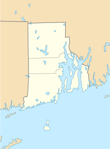
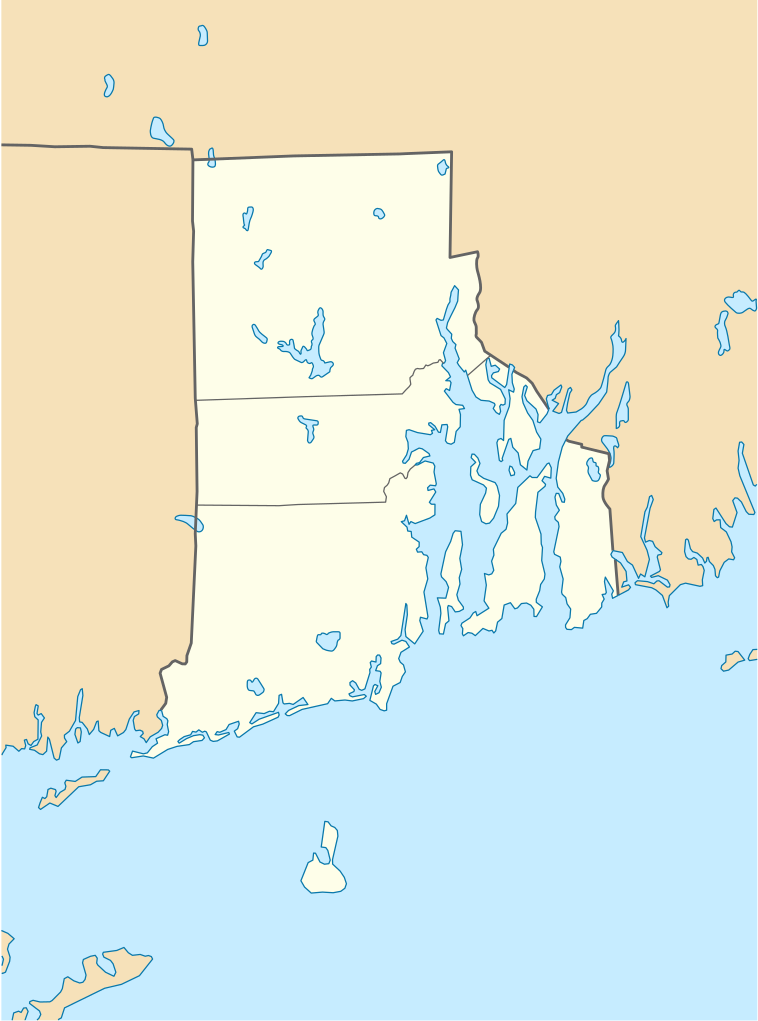
Rhode Island (USA) location map.
Summary
[edit]
| Description |
Quadratische Plattkarte, N-S-Streckung 135 %. Geographische Begrenzung der Karte:
Equirectangular projection, N/S stretching 135 %. Geographic limits of the map:
|
| Date | 11 June 2009 (upload date) |
| Source |
own work, using
|
| Author | NordNordWest |
| Other versions |
Derivative works of this file: |

|
This map has been made or improved in the German Kartenwerkstatt (Map Lab). You can propose maps to improve as well.
|
Licensing
[edit]
I, the copyright holder of this work, hereby publish it under the following licenses:

|
Permission is granted to copy, distribute and/or modify this document under the terms of the GNU Free Documentation License, Version 1.2 or any later version published by the Free Software Foundation; with no Invariant Sections, no Front-Cover Texts, and no Back-Cover Texts. A copy of the license is included in the section entitled GNU Free Documentation License. |
This file is licensed under the Creative Commons Attribution 3.0 Unported license.
- You are free:
- to share – to copy, distribute and transmit the work
- to remix – to adapt the work
- Under the following conditions:
- attribution – You must give appropriate credit, provide a link to the license, and indicate if changes were made. You may do so in any reasonable manner, but not in any way that suggests the licensor endorses you or your use.
You may select the license of your choice.
File history
Click on a date/time to view the file as it appeared at that time.
| Date/Time | Thumbnail | Dimensions | User | Comment | |
|---|---|---|---|---|---|
| current | 18:51, 11 June 2009 | | 758 × 1,021 (91 KB) | NordNordWest (talk | contribs) | {{Information |Description= {{de|Positionskarte von Rhode Island, USA}} Quadratische Plattkarte, N-S-Streckung 135 %. Geographische Begrenzung der Karte: * N: 42.2° N * S: 41.0° N * W: 72.1° W * O: 70.9° W {{en|Locatio |
You cannot overwrite this file.
File usage on Commons
The following 25 pages use this file:
- User:NordNordWest/Gallery/Location maps
- File:BJ's Gas Station locations 2020 December.png
- File:BJ's store locations.png
- File:BJ's store locations 2020 December.png
- File:Bristol County in Rhode Island.svg
- File:Citgo locations 2020 September.png
- File:Costco footprint map USA 2021-01.png
- File:Dollar Tree footprint map 2020-12.png
- File:Family Dollar footprint map 2020-12.png
- File:Kent County in Rhode Island.svg
- File:Newport County in Rhode Island.svg
- File:Providence County in Rhode Island.svg
- File:Rhode Island, administrative divisions - Nmbrs - colored.svg
- File:Rhode Island, administrative divisions - Nmbrs - monochrome.svg
- File:Rhode Island, administrative divisions - he - colored.svg
- File:Rhode Island, administrative divisions - he - monochrome.svg
- File:Save-A-Lot footprint map.png
- File:Speedway Footprint 2020 August.png
- File:Speedway Jun2018 to Aug2020 comparison.png
- File:Target stores footprint 2020-12.png
- File:USA Rhode Island relief location map.svg
- File:Valero brands branded gas stations 2020-12.png
- File:Walmart branded fuel stations map 2020-12.png
- File:Walmart locations with on-site fuel stations map 2020-20.png
- File:Washington County in Rhode Island.svg
File usage on other wikis
The following other wikis use this file:
- Usage on an.wikipedia.org
- Usage on ar.wikipedia.org
- Usage on azb.wikipedia.org
- Usage on az.wikipedia.org
- Usage on be-tarask.wikipedia.org
- Usage on bg.wikipedia.org
- Usage on bn.wikipedia.org
- টেমপ্লেট:অবস্থান মানচিত্র মার্কিন যুক্তরাষ্ট্রের রোড আইল্যান্ড
- ফস্টার-পেইন হাউস
- ১৭৬১ মাইলস্টোন
- পঞ্চম ওয়ার্ড ওয়ার্ডরুম
- ফায়ার স্টেশন নং ৪ (পটাকেট, রোডি আইল্যান্ড)
- ব্রাউন স্টেডিয়াম
- মডিউল:অবস্থান মানচিত্র/উপাত্ত/মার্কিন যুক্তরাষ্ট্র রোড আইল্যান্ড
- মডিউল:অবস্থান মানচিত্র/উপাত্ত/মার্কিন যুক্তরাষ্ট্র রোড আইল্যান্ড/নথি
- Usage on ca.wikipedia.org
- Usage on ceb.wikipedia.org
- Usage on ce.wikipedia.org
- Usage on cs.wikipedia.org
- Usage on de.wikipedia.org
- Middletown (Rhode Island)
- Portsmouth (Rhode Island)
- Newport (Rhode Island)
- Providence
- Narragansett (Rhode Island)
- Charlestown (Rhode Island)
- Johnston (Rhode Island)
- Cranston (Rhode Island)
- Barrington (Rhode Island)
- Kingston (Rhode Island)
- Amica Mutual Pavilion
- Warwick (Rhode Island)
- Vorlage:Positionskarte USA Rhode Island
- Woonsocket (Rhode Island)
- Bradford (Rhode Island)
- Bristol (Rhode Island)
- Central Falls
- Coventry (Rhode Island)
- Cumberland (Rhode Island)
View more global usage of this file.