File:U.S. 93 Just South of I-40 (3439948439).jpg
Original file (2,816 × 2,112 pixels, file size: 2.06 MB, MIME type: image/jpeg)
Captions
Captions
Summary
[edit].jpg&action=edit§ion=1)
| Description |
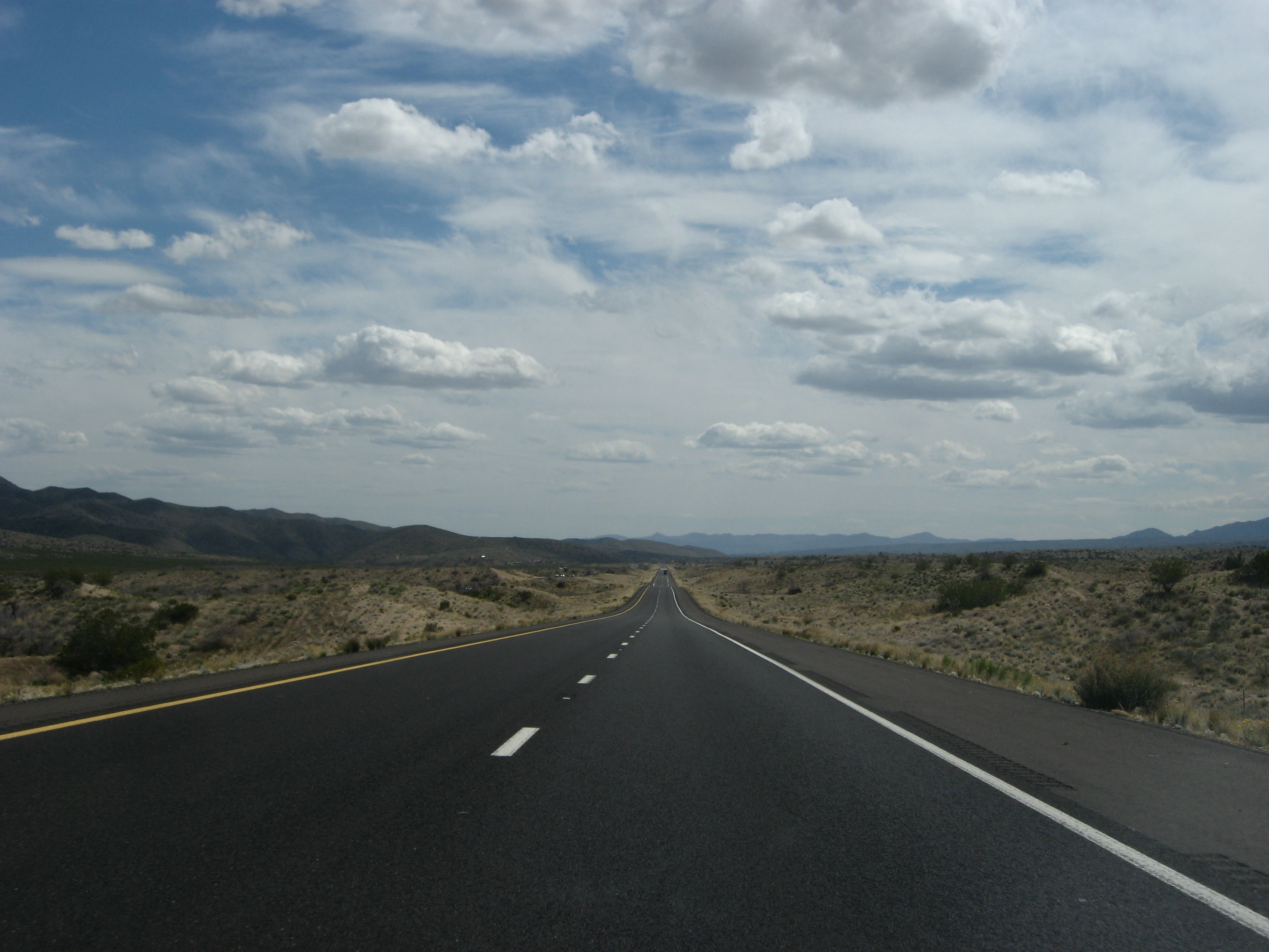
In the U.S. state of Arizona, U.S. Route 93 is a U.S. Highway that begins in Wickenburg and heads north to the Nevada border at the Mike O'Callaghan – Pat Tillman Memorial Bridge. As part of a proposal by municipal leaders in Nevada and Arizona, the highway could be replaced by Interstate 11. Arizona has always signed this particular route with its zero mile point located at the Nevada border. Until October 19, 2010, that point was on the crest of Hoover Dam, but ever since has been at the state line along the new Mike O'Callaghan – Pat Tillman Memorial Bridge. The southern terminus of US 93 is located at a junction (rebuilt and relocated between February 2008 and February 2010) with US 60 in Wickenburg, a small town about 50 miles (80 km) northwest of Phoenix. It heads towards the northwest from this junction to an intersection with SR 89 (the former US 89) across the Maricopa – Yavapai county line just northwest of town. SR 89 heads northeast to Prescott while US 93 continues its northwesterly heading, as a mainly two-lane highway with passing lanes every few miles. US 93 continues to the northwest to a junction with SR 71 at a diamond interchange southwest of Congress. As it continues to the northwest through this scenic but remote rural area, the highway is known as the Joshua Tree Forest Parkway. The highway widens to four lanes at the Santa Maria River and continues towards the northwest past a junction with SR 97 on its way to the town of Wikieup. Before reaching that town, it passes the tiny settlement of Nothing (just across the Yavapai – Mohave county line) and crosses Burro Creek over dual steel arch bridges about 400 feet over the creek. After passing through Wikieup, US 93 curves north to follow the western edge of the Big Sandy River and one of its tributaries, Knight Creek, on its way toward Interstate 40. <a href="http://en.wikipedia.org/wiki/U.S._Route_93_in_Arizona" rel="nofollow">en.wikipedia.org/wiki/U.S._Route_93_in_Arizona</a> <a href="http://en.wikipedia.org/wiki/Wikipedia:Text_of_Creative_Commons_Attribution-ShareAlike_3.0_Unported_License" rel="nofollow">en.wikipedia.org/wiki/Wikipedia:Text_of_Creative_Commons_...</a> |
| Date | |
| Source | U.S. 93 Just South of I-40 |
| Author | Ken Lund from Reno, Nevada, USA |
| Camera location | | View this and other nearby images on: OpenStreetMap |
|---|
.jpg¶ms=035.149792_N_-113.690063_E_globe:Earth_type:camera_source:Flickr_&language=en)
Licensing
[edit].jpg&action=edit§ion=2)
- You are free:
- to share – to copy, distribute and transmit the work
- to remix – to adapt the work
- Under the following conditions:
- attribution – You must give appropriate credit, provide a link to the license, and indicate if changes were made. You may do so in any reasonable manner, but not in any way that suggests the licensor endorses you or your use.
- share alike – If you remix, transform, or build upon the material, you must distribute your contributions under the same or compatible license as the original.
| This image was originally posted to Flickr by Ken Lund at https://flickr.com/photos/75683070@N00/3439948439 (archive). It was reviewed on 23 June 2018 by FlickreviewR 2 and was confirmed to be licensed under the terms of the cc-by-sa-2.0. |
File history
Click on a date/time to view the file as it appeared at that time.
| Date/Time | Thumbnail | Dimensions | User | Comment | |
|---|---|---|---|---|---|
| current | 22:56, 23 June 2018 | | 2,816 × 2,112 (2.06 MB) | Hiàn (alt) (talk | contribs) | Transferred from Flickr via #flickr2commons |
You cannot overwrite this file.
File usage on Commons
There are no pages that use this file.
.jpg&oldid=929125775)