File:Trenčín Region - physical map.png
Jump to navigation
Jump to search

Size of this preview: 700 × 600 pixels. Other resolutions: 280 × 240 pixels | 560 × 480 pixels | 896 × 768 pixels | 1,120 × 960 pixels.
Original file (1,120 × 960 pixels, file size: 3.08 MB, MIME type: image/png)
Captions
Captions
Add a one-line explanation of what this file represents
| Description |
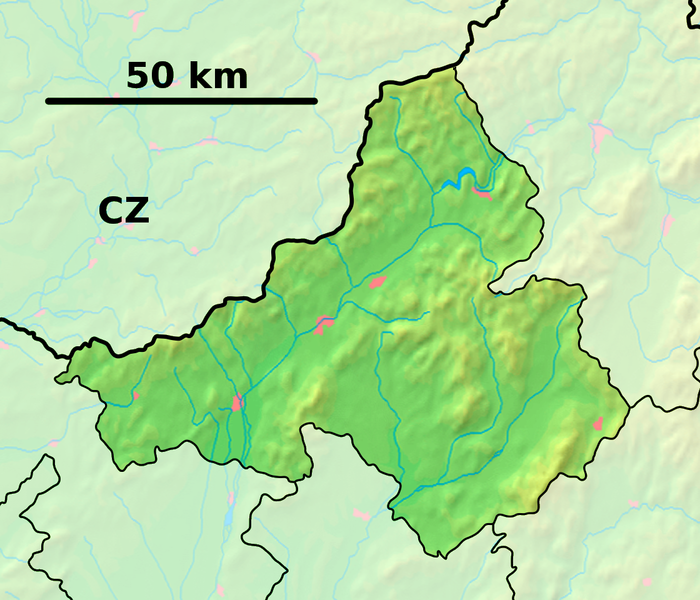
Background map of the Trenčín Region, Slovakia, ready for the Geobox template, calibrated at en:Template:Geobox locator Trenčín Region Outline map of the Trenčín Region, Slovakia, ready for the Geobox template, calibrated at en:Template:Geobox locator Trenčín Region |
| Date | (UTC) |
| Source | |
| Author |
| This is a retouched picture, which means that it has been digitally altered from its original version. Modifications: fusion. The original can be viewed here: Trenčín Region - outline map.svg:
|
This file is licensed under the Creative Commons Attribution-Share Alike 3.0 Unported license.
- You are free:
- to share – to copy, distribute and transmit the work
- to remix – to adapt the work
- Under the following conditions:
- attribution – You must give appropriate credit, provide a link to the license, and indicate if changes were made. You may do so in any reasonable manner, but not in any way that suggests the licensor endorses you or your use.
- share alike – If you remix, transform, or build upon the material, you must distribute your contributions under the same or compatible license as the original.
Original upload log
[edit]
This image is a derivative work of the following images:
- File:Trenčín_Region_-_background_map.png licensed with PD-Demis
- 2007-10-27T11:23:15Z Caroig 1120x960 (1213296 Bytes) == Summary == {{Information |Description=Background map of the Trenčín Region, Slovakia, ready for the [[:en:Template:Geobox|Geobox]] template, calibrated at [[:en:Template:Geobox locator Trenčín Region]] |Source=Made my
- File:Trenčín_Region_-_outline_map.svg licensed with Cc-by-sa-3.0,2.5,2.0,1.0, GFDL
- 2007-10-27T11:45:36Z Caroig 1400x1200 (127004 Bytes) == Summary == {{Information |Description=Outline map of the Trenčín Region, Slovakia, ready for the [[:en:Template:Geobox|Geobox]] template, calibrated at [[:en:Template:Geobox locator Trenčín Region]] |Source=self-made |
Uploaded with derivativeFX
File history
Click on a date/time to view the file as it appeared at that time.
| Date/Time | Thumbnail | Dimensions | User | Comment | |
|---|---|---|---|---|---|
| current | 19:05, 28 September 2010 | | 1,120 × 960 (3.08 MB) | Adehertogh (talk | contribs) | {{Information |Description=Background map of the Trenčín Region, Slovakia, ready for the Geobox template, calibrated at en:Template:Geobox locator Trenčín Region Outline map of the Trenčín Region, Slovakia, ready for the |
You cannot overwrite this file.
File usage on Commons
The following 18 pages use this file:
- Category:Births in Trenčín Region
- Category:Burials in Trenčín Region
- Category:Culture of Trenčín Region
- Category:Deaths in Trenčín Region
- Category:Events in Trenčín Region
- Category:Hotels in Trenčín Region
- Category:Museums in Trenčín Region
- Category:Religion in Trenčín Region
- Category:Schools in Trenčín Region
- Category:Sports clubs in Trenčín Region
- Category:Sports in Trenčín Region
- Category:Stations of the Cross in Trenčín Region
- Category:Structures in Trenčín Region
- Category:Train stations in Trenčín Region
- Category:Transport in Trenčín Region
- Category:Trenčín, Eslovaquia por Axel Cotón Gutiérrez
- Category:Trenčín Region
- Category:Villages and municipalities in the Trenčín Region
File usage on other wikis
The following other wikis use this file:
- Usage on azb.wikipedia.org
- Usage on bg.wikipedia.org
- Тренчин
- Приевидза
- Шаблон:ПК Словакия Тренчински край
- Партизанске
- Долни Лесков
- Долне Вестенице
- Буковец (окръг Миява)
- Върбовце
- Крайне
- Яблонка
- Костолне
- Брезова под Брадлом
- Кошариска
- Порядие
- Брестовец (окръг Миява)
- Подкилава
- Полянка
- Приепасне
- Рудник (окръг Миява)
- Стара Миява
- Хвойница (окръг Миява)
- Грашне
- Usage on en.wikipedia.org
- Trenčín
- Bojnice
- Horná Streda
- Ilava
- Malinová, Slovakia
- Nitrianske Pravno
- Trenčianske Teplice
- Prievidza
- Beluša
- Púchov
- Čachtice
- Dubnica nad Váhom
- Nové Mesto nad Váhom
- Bánovce nad Bebravou
- Partizánske
- Krásna Ves
- Podskalie
- Nová Dubnica
- Myjava
- Nimnica
- Dvorec
- Bohunice, Ilava District
- Dulov
- Jablonka, Myjava District
- Borčany
- Brezolupy
- Cimenná
View more global usage of this file.