File:Tokyo Gate Bridge - panoramio.jpg
Jump to navigation
Jump to search
Size of this preview: 800 × 534 pixels. Other resolutions: 320 × 214 pixels | 640 × 427 pixels | 1,024 × 683 pixels | 1,280 × 854 pixels | 2,560 × 1,709 pixels | 7,226 × 4,823 pixels.
Original file (7,226 × 4,823 pixels, file size: 7.26 MB, MIME type: image/jpeg)
Captions
Captions
Add a one-line explanation of what this file represents
Summary
[edit]
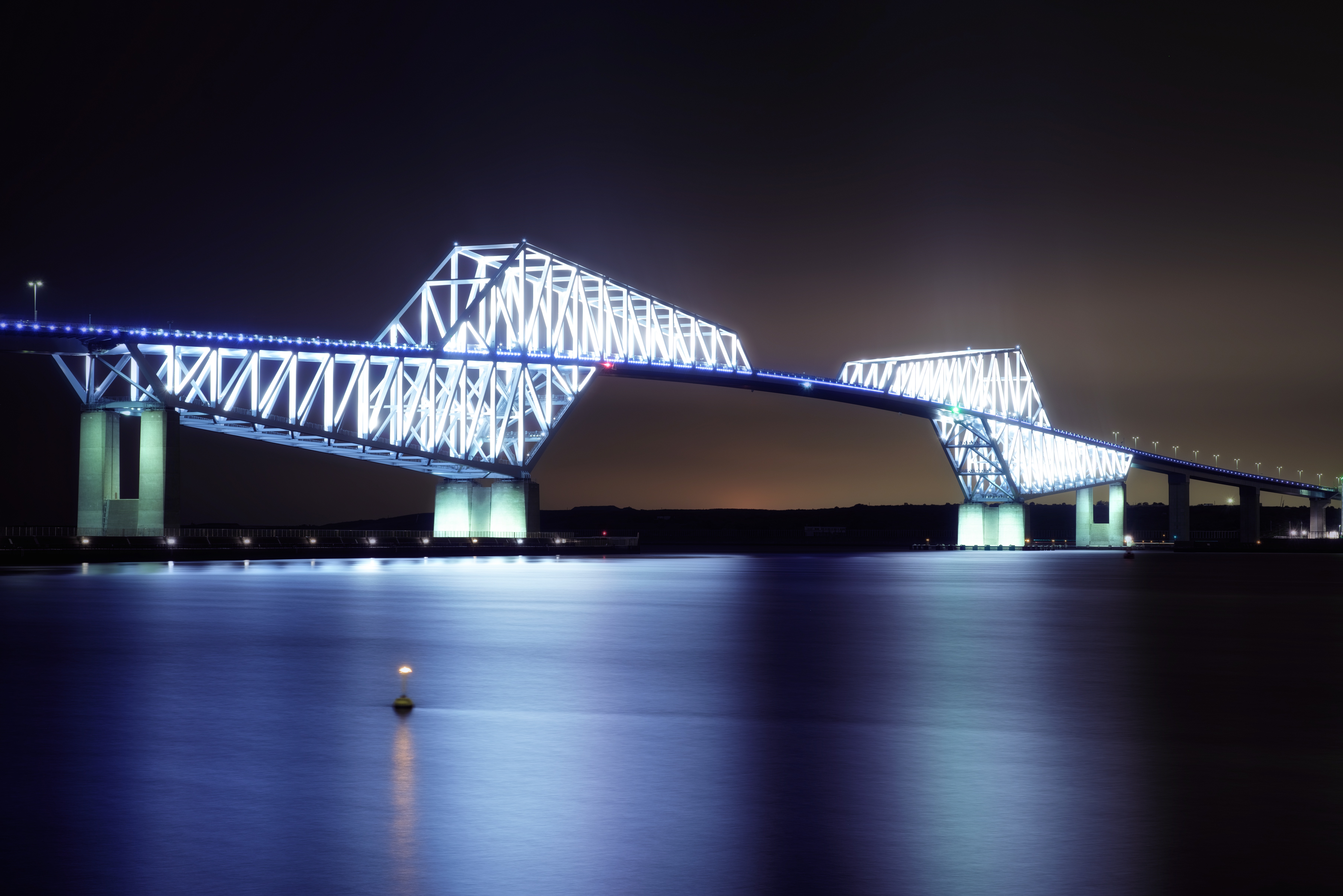
| Description | Tokyo Gate Bridge | ||
| Date | Taken on 2 October 2016 | ||
| Source | https://www.panoramio.com/photo/134164383 | ||
| Author | FoxyStranger Kawasaki | ||
| Permission (Reusing this file) |
This file is licensed under the Creative Commons Attribution-Share Alike 3.0 Unported license. Attribution: FoxyStranger Kawasaki
|
| Camera location | | View this and other nearby images on: OpenStreetMap |
|---|
File history
Click on a date/time to view the file as it appeared at that time.
| Date/Time | Thumbnail | Dimensions | User | Comment | |
|---|---|---|---|---|---|
| current | 08:09, 14 October 2016 | | 7,226 × 4,823 (7.26 MB) | Panoramio upload bot (talk | contribs) | {{Information |description=Tokyo Gate Bridge |date={{Taken on|2016-10-02}} |source=http://www.panoramio.com/photo/134164383 |author=[http://www.panoramio.com/user/7955932?with_photo_id=134164383 FoxyStranger Kawasak…] |permission={{cc-by-sa-3.0|FoxyS... |
You cannot overwrite this file.
File usage on Commons
There are no pages that use this file.