File:The old Shifnal road - geograph.org.uk - 1360937.jpg
Jump to navigation
Jump to search
No higher resolution available.
The_old_Shifnal_road_-_geograph.org.uk_-_1360937.jpg (640 × 480 pixels, file size: 146 KB, MIME type: image/jpeg)
Captions
Captions
Add a one-line explanation of what this file represents
Summary
[edit]| Description |
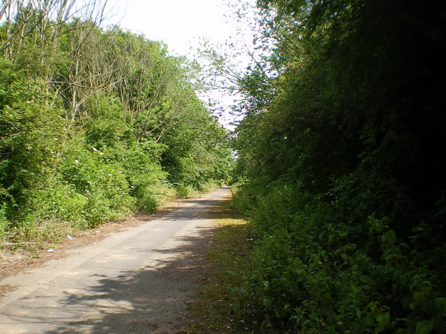
English: The old Shifnal road Prior to the construction of the M54 and Castle Farm interchange in the 1980s, this was the main road between Oakengates and Shifnal. The cats' eyes are still there down the middle and the kerbs, and some of the white lines can still be made out in places. But it's now turned into a bit of an overgrown fly-tipping site, although still used as a cycleway. |
| Date | |
| Source | From geograph.org.uk |
| Author | Richard Law |
| Attribution (required by the license) | Richard Law / The old Shifnal road / |
| Camera location | | View this and other nearby images on: OpenStreetMap |
|---|
| Object location | | View this and other nearby images on: OpenStreetMap |
|---|
Licensing
[edit]
|
This image was taken from the Geograph project collection. See this photograph's page on the Geograph website for the photographer's contact details. The copyright on this image is owned by Richard Law and is licensed for reuse under the Creative Commons Attribution-ShareAlike 2.0 license.
|
This file is licensed under the Creative Commons Attribution-Share Alike 2.0 Generic license.
Attribution: Richard Law
- You are free:
- to share – to copy, distribute and transmit the work
- to remix – to adapt the work
- Under the following conditions:
- attribution – You must give appropriate credit, provide a link to the license, and indicate if changes were made. You may do so in any reasonable manner, but not in any way that suggests the licensor endorses you or your use.
- share alike – If you remix, transform, or build upon the material, you must distribute your contributions under the same or compatible license as the original.

_heading:90.00&language=en)
_heading:90.00&language=en)
File history
Click on a date/time to view the file as it appeared at that time.
| Date/Time | Thumbnail | Dimensions | User | Comment | |
|---|---|---|---|---|---|
| current | 12:45, 28 February 2011 | | 640 × 480 (146 KB) | GeographBot (talk | contribs) | == {{int:filedesc}} == {{Information |description={{en|1=The old Shifnal road Prior to the construction of the M54 and Castle Farm interchange in the 1980s, this was the main road between Oakengates and Shifnal. The cats' eyes are still there down the mid |
You cannot overwrite this file.
File usage on Commons
There are no pages that use this file.