File:The Hague location map (Den Haag).svg
Jump to navigation
Jump to search

Size of this PNG preview of this SVG file: 695 × 600 pixels. Other resolutions: 278 × 240 pixels | 556 × 480 pixels | 890 × 768 pixels | 1,186 × 1,024 pixels | 2,373 × 2,048 pixels | 1,199 × 1,035 pixels.
Original file (SVG file, nominally 1,199 × 1,035 pixels, file size: 12.42 MB)
Captions
Captions
Add a one-line explanation of what this file represents
Summary
[edit].svg&action=edit§ion=1)
| Description |
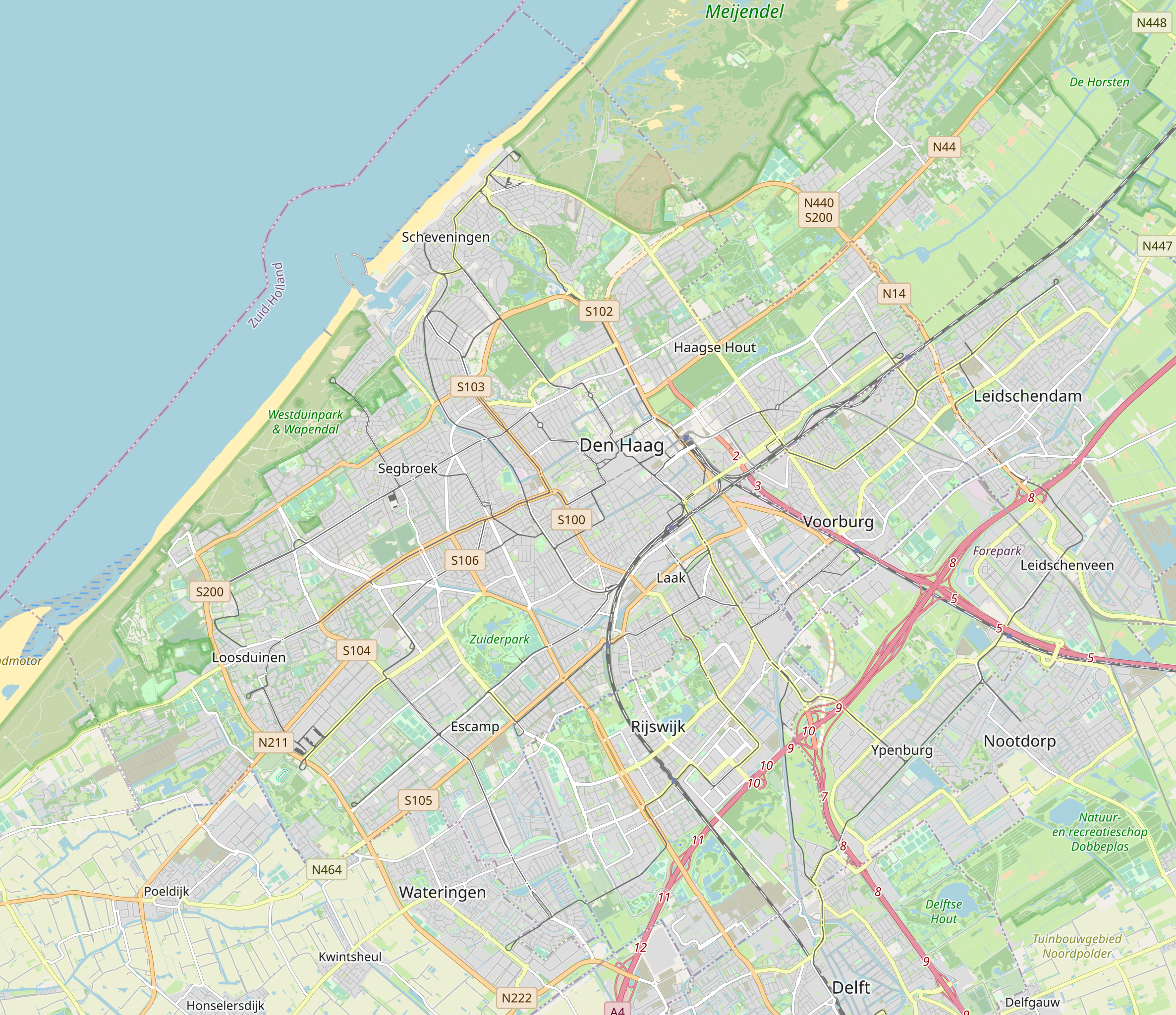
English: * Location map The Hague
Geographic limits of the map:
Nederlands: * Positiekaart Den Haag
Geografische grenzen van de kaart:
|
| Date | |
| Source |
OpenStreetMap geo:52.0709,4.3025?z=12 |
| Author | OpenStreetMap-auteurs |
| Camera location | | View this and other nearby images on: OpenStreetMap |
|---|
.svg¶ms=004.302500_N_0052.070900_E_globe:Earth_type:camera_heading:12.00&language=en)
Licensing
[edit].svg&action=edit§ion=2)
This file is licensed under the Creative Commons Attribution-Share Alike 3.0 Unported license.
- You are free:
- to share – to copy, distribute and transmit the work
- to remix – to adapt the work
- Under the following conditions:
- attribution – You must give appropriate credit, provide a link to the license, and indicate if changes were made. You may do so in any reasonable manner, but not in any way that suggests the licensor endorses you or your use.
- share alike – If you remix, transform, or build upon the material, you must distribute your contributions under the same or compatible license as the original.
File history
Click on a date/time to view the file as it appeared at that time.
| Date/Time | Thumbnail | Dimensions | User | Comment | |
|---|---|---|---|---|---|
| current | 10:11, 15 June 2020 | | 1,199 × 1,035 (12.42 MB) | OSeveno (talk | contribs) | Uploaded a work by OpenStreetMap-auteurs from [OpenStreetMap https://www.openstreetmap.org/#map=12/52.0709/4.3025] geo:52.0709,4.3025?z=12 with UploadWizard |
You cannot overwrite this file.
File usage on Commons
There are no pages that use this file.
File usage on other wikis
The following other wikis use this file:
- Usage on eo.wikipedia.org
- Madurodam
- Europeana
- Scheveningen
- Eŭropolo
- Palaco de Paco
- Huis ten Bosch
- Internacia Federacio de Bibliotekaj Asocioj kaj Institucioj
- Nacia Biblioteko de Nederlando
- Instituto pri arta historio de Nederlando
- Panoramo Mesdag
- Mauritshuis
- Organizaĵo por la malpermeso de kemiaj armiloj
- Ŝablono:Situo sur mapo Nederlando Hago
- Diskuto:Panoramo Mesdag
- Usage on fr.wikipedia.org
- Ambassade de France aux Pays-Bas
- Ambassade du Maroc aux Pays-Bas
- Ambassade du Canada aux Pays-Bas
- Modèle:Géolocalisation/La Haye
- La Haye-Centrale (métro de Rotterdam)
- Nootdorp (métro de Rotterdam)
- Leidschenveen (métro de Rotterdam)
- Forepark (métro de Rotterdam)
- Leidschendam-Voorburg (métro de Rotterdam)
- Voorburg 't Loo (métro de Rotterdam)
- Laan van NOI (métro de Rotterdam)
- Quartier pénitentiaire des Nations unies
- Usage on fy.wikipedia.org
- Usage on nl.wikipedia.org
View more global usage of this file.
.svg)
.svg&oldid=662912295)