File:Tady pěšky - tady běžky (01).jpg
From Wikimedia Commons, the free media repository
Jump to navigation
Jump to search
Size of this preview: 391 × 599 pixels. Other resolutions: 156 × 240 pixels | 313 × 480 pixels | 501 × 768 pixels | 668 × 1,024 pixels | 1,516 × 2,323 pixels.
Original file (1,516 × 2,323 pixels, file size: 520 KB, MIME type: image/jpeg)
File information
Structured data
Captions
Summary
[edit]DescriptionTady pěšky - tady běžky (01).jpg |
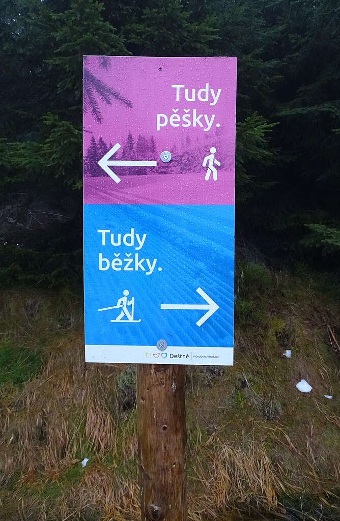
English: Deštné v Orlických horách, Rychnov nad Kněžnou District, Czechia. A sign for skiers and walkers.
|
||||
Date | Taken on 31 December 2022 | ||||
Source | Self-photographed | ||||
Author | ŠJů | ||||
Permission (Reusing this file) |
I, the copyright holder of this work, hereby publish it under the following license: This file is licensed under the Creative Commons Attribution 4.0 International license. Attribution: ŠJů, Wikimedia Commons
|
File history
Click on a date/time to view the file as it appeared at that time.
Date/Time | Thumbnail | Dimensions | User | Comment | |
---|---|---|---|---|---|
current | 15:36, 22 January 2024 | 1,516 × 2,323 (520 KB) | ŠJů (talk | contribs) | {{Information |Description={{cs|1=Deštné v Orlických horách, okres Rychnov nad Kněžnou. Značení pro běžkaře a chodce.}} {{en|1=Deštné v Orlických horách, Rychnov nad Kněžnou District, Czechia. A sign for skiers and walkers.}} {{location|50.3179997|16.3919483|region:CZ}} |Date= {{Taken on|2022-12-31}} |Source={{self-photographed}} |Author=... |
You cannot overwrite this file.
File usage on Commons
The following page uses this file:
Metadata
This file contains additional information such as Exif metadata which may have been added by the digital camera, scanner, or software program used to create or digitize it. If the file has been modified from its original state, some details such as the timestamp may not fully reflect those of the original file. The timestamp is only as accurate as the clock in the camera, and it may be completely wrong.
Camera manufacturer | SONY |
---|---|
Camera model | DSC-HX400V |
Exposure time | 1/160 sec (0.00625) |
F-number | f/2.8 |
ISO speed rating | 640 |
Date and time of data generation | 10:52, 31 December 2022 |
Lens focal length | 4.3 mm |
Latitude | 50° 19′ 4.69″ N |
Longitude | 16° 23′ 31.43″ E |
Altitude | 1,012.9 meters above sea level |
Orientation | Normal |
Horizontal resolution | 350 dpi |
Vertical resolution | 350 dpi |
Software used | DSC-HX400V v2.10 |
File change date and time | 10:52, 31 December 2022 |
Y and C positioning | Co-sited |
Exposure Program | Normal program |
Exif version | 2.3 |
Date and time of digitizing | 10:52, 31 December 2022 |
Meaning of each component |
|
Image compression mode | 3 |
APEX brightness | 2.9 |
APEX exposure bias | 0 |
Maximum land aperture | 2.96875 APEX (f/2.8) |
Metering mode | Pattern |
Light source | Unknown |
Flash | Flash did not fire, auto mode |
Supported Flashpix version | 1 |
Color space | sRGB |
File source | Digital still camera |
Scene type | A directly photographed image |
Custom image processing | Normal process |
Exposure mode | Auto exposure |
White balance | Auto white balance |
Digital zoom ratio | 1 |
Scene capture type | Standard |
Contrast | Normal |
Saturation | Normal |
Sharpness | Normal |
GPS time (atomic clock) | 09:52 |
Receiver status | Measurement in progress |
Measurement mode | 3-dimensional measurement |
Measurement precision | Poor (1.59) |
Speed unit | Kilometers per hour |
Speed of GPS receiver | 0.99 |
Reference for direction of movement | True direction |
Direction of movement | 131.47 |
Geodetic survey data used | WGS-84 |
GPS date | 31 December 2022 |
GPS differential correction | 0 |
GPS tag version | 0.0.3.2 |
Structured data
Items portrayed in this file
depicts
31 December 2022
image/jpeg
7704c4134b02170d2d6fb49f4bb867d25d56bcb6
532,885 byte
2,323 pixel
1,516 pixel
50°19'4.800"N, 16°23'31.013"E
0.00625 second
2.8
4.3 millimetre
640
Categories:
- Šerlich (Deštné v Orlických horách)
- Trails in Rychnov nad Kněžnou District
- Signs in Rychnov nad Kněžnou District
- Cross-country skiing in the Czech Republic
- Skiing signs in Czechia
- Hiking and footpath signs in the Czech Republic
- Atypical markings of hiking trails in the Czech Republic
- Cross-country skiing route signs in the Czech Republic