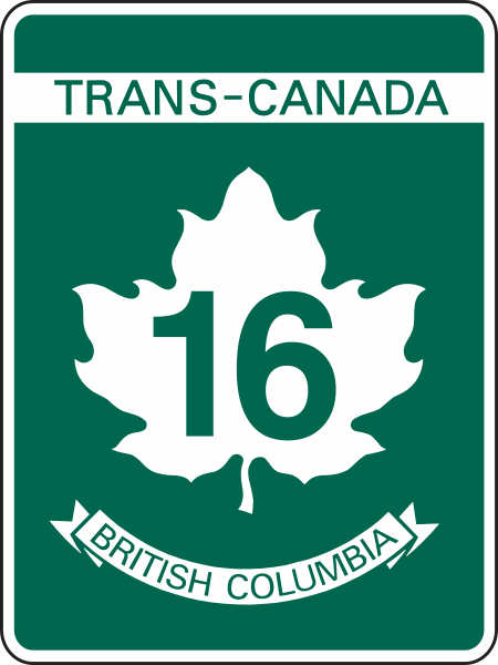
File:BC-16 (TCH).svg

Original file (SVG file, nominally 450 × 600 pixels, file size: 44 KB)
Captions
Captions
| DescriptionBC-16 (TCH).svg | Shield of Highway 16 in British Columbia. | ||||
| Date | |||||
| Source | File:BC-1 (TCH).svg; BC sign catalogue | ||||
| Author | User:Denelson83 | ||||
| Permission (Reusing this file) |
|
File history
Click on a date/time to view the file as it appeared at that time.
| Date/Time | Thumbnail | Dimensions | User | Comment | |
|---|---|---|---|---|---|
| current | 19:02, 23 August 2021 |  | 450 × 600 (44 KB) | Fredddie (talk | contribs) | update green // Editing SVG source code using c:User:Rillke/SVGedit.js |
| 18:07, 1 September 2018 |  | 450 × 600 (44 KB) | MuzikMachine (talk | contribs) | Updated colour and ratio as per BC sign catalogue. | |
| 16:26, 21 August 2018 |  | 256 × 320 (33 KB) | MuzikMachine (talk | contribs) | Updated font. | |
| 01:34, 25 February 2011 |  | 240 × 300 (28 KB) | Denelson83 (talk | contribs) | No text objects! | |
| 01:33, 25 February 2011 |  | 240 × 300 (27 KB) | Denelson83 (talk | contribs) | {{Information |Description=Shield of Highway 16 in British Columbia. |Source=w:File:British Columbia provincial highway 1.svg |Date=2011-02-25 |Author=User:Denelson83 |Permission={{PD-Canada}} |other_versions= }} Category:Trans-Canada Highway |
You cannot overwrite this file.
File usage on Commons
The following 26 pages use this file:
- Commons:Files used on the AARoads Wiki/60
- Commons:Files used on the AARoads Wiki/8
- Commons:Files used on the OpenStreetMap Wiki/3
- Commons:Files used on the OpenStreetMap Wiki/30
- File:BC-16.svg (file redirect)
- File:Kootenays WV regions map.svg
- File:TCH-16 (BC).svg (file redirect)
- File:TCH-Quebec.png
- File:TCH-blank.svg
- File:TCH COR.png
- File:TCH GBR.png
- File:TCH LSR.png
- File:TCH NOR.png
- File:TCH OVR.png
- Category:British Columbia Highway 16
File usage on other wikis
The following other wikis use this file:
- Usage on bn.wikivoyage.org
- Usage on de.wikipedia.org
- British Columbia Highway 97
- British Columbia Highway 37
- Liste der Highways in British Columbia
- British Columbia Highway 5
- British Columbia Highway 16
- British Columbia Highway 27
- British Columbia Highway 35
- British Columbia Highway 113
- British Columbia Highway 118
- Alberta Highway 16
- Benutzer:Kantischüler
- Usage on de.wikivoyage.org
- Usage on en.wikipedia.org
- List of Alberta provincial highways
- List of British Columbia provincial highways
- British Columbia Highway 16
- McBride, British Columbia
- British Columbia Highway 17
- Terrace, British Columbia
- British Columbia Highway 15
- British Columbia Highway 97
- British Columbia Highway 5
- Stewart–Cassiar Highway
- British Columbia Highway 35
- British Columbia Highway 27
- Usk, British Columbia
- Alberta Highway 16
- Vanderhoof, British Columbia
- Houston, British Columbia
- British Columbia Highway 118
- Thornhill, British Columbia
- Skidegate
- Masset
- Fraser Lake
- List of highways numbered 16
- Port Clements
- Nisga'a Highway
- List of crossings of the Fraser River
- Gitsegukla
- Port Edward, British Columbia
- Tlell
- Tête Jaune Cache, British Columbia
- New Hazelton
- Kitwanga
- Kitselas Canyon
- Cedarvale, British Columbia
- Crescent Spur, British Columbia
- National Highway System (Canada)
- Template:Infobox road/testcases/CAN
View more global usage of this file.
Metadata
This file contains additional information such as Exif metadata which may have been added by the digital camera, scanner, or software program used to create or digitize it. If the file has been modified from its original state, some details such as the timestamp may not fully reflect those of the original file. The timestamp is only as accurate as the clock in the camera, and it may be completely wrong.
| Width | 450.00034 |
|---|---|
| Height | 599.99957 |
