File:Strijp-S - panoramio.jpg
Jump to navigation
Jump to search

Size of this preview: 337 × 599 pixels. Other resolutions: 135 × 240 pixels | 270 × 480 pixels | 432 × 768 pixels | 576 × 1,024 pixels | 1,152 × 2,048 pixels | 2,988 × 5,312 pixels.
Original file (2,988 × 5,312 pixels, file size: 4.42 MB, MIME type: image/jpeg)
Captions
Captions
Add a one-line explanation of what this file represents
Summary
[edit]
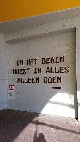
| Description | Strijp-S | ||
| Date | Taken on 16 February 2016 | ||
| Source | https://web.archive.org/web/20161102014346/http://www.panoramio.com/photo/129317384 | ||
| Author | Maaike Hage | ||
| Permission (Reusing this file) |
This file is licensed under the Creative Commons Attribution-Share Alike 3.0 Unported license. Attribution: Maaike Hage
|
||
| Panoramio Tags | Eindhoven |
| Camera location | | View this and other nearby images on: OpenStreetMap |
|---|
File history
Click on a date/time to view the file as it appeared at that time.
| Date/Time | Thumbnail | Dimensions | User | Comment | |
|---|---|---|---|---|---|
| current | 20:09, 3 July 2017 | | 2,988 × 5,312 (4.42 MB) | Panoramio upload bot (talk | contribs) | == {{int:filedesc}} == {{Information |description=Strijp-S |date={{Taken on|2016-02-16}} |source=http://www.panoramio.com/photo/129317384 |author=[http://www.panoramio.com/user/8556168?with_photo_id=129317384 Maaike Hage] |permission={{cc-by-sa-3.0|Maa... |
You cannot overwrite this file.
File usage on Commons
There are no pages that use this file.