File:Siracusa Map 123434332.jpg
Jump to navigation
Jump to search

Size of this preview: 800 × 310 pixels. Other resolutions: 320 × 124 pixels | 640 × 248 pixels | 1,024 × 397 pixels | 2,346 × 910 pixels.
Original file (2,346 × 910 pixels, file size: 1.28 MB, MIME type: image/jpeg)
Captions
Captions
Add a one-line explanation of what this file represents
Summary
[edit]
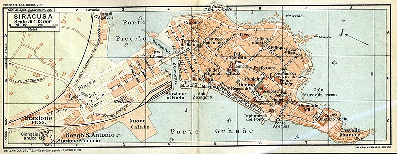
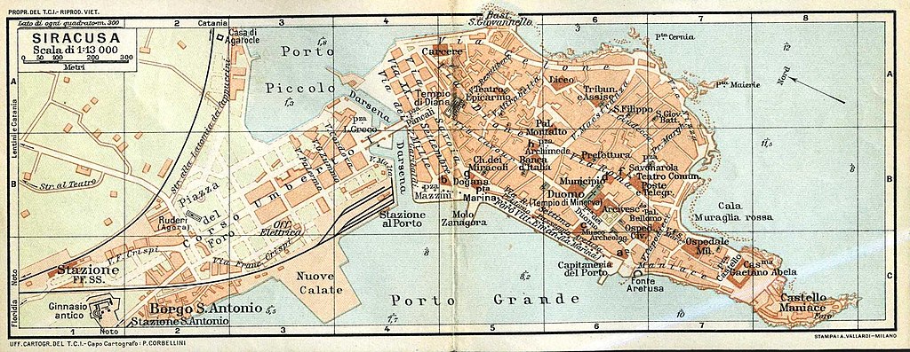
| Description |
|
||||
| Date | Unknown date | ||||
| Source | Touring Club Italiano | ||||
| Author | Turing Club Italiano | ||||
| Permission (Reusing this file) |
|
||||
File history
Click on a date/time to view the file as it appeared at that time.
| Date/Time | Thumbnail | Dimensions | User | Comment | |
|---|---|---|---|---|---|
| current | 19:17, 10 August 2007 | 2,346 × 910 (1.28 MB) | Maria lo sposo (talk | contribs) | {{Information |Description=Siracuse Map |Source=Baedeker 13.Aufl. |Date=1905 |Author=Baedeker |Permission= |other_versions= }} |
You cannot overwrite this file.
File usage on Commons
The following 2 pages use this file:
File usage on other wikis
The following other wikis use this file:
- Usage on nl.wikipedia.org
- Usage on pl.wikipedia.org