File:Sinsen Aerial 2018 (185937).jpg

Original file (3,992 × 2,242 pixels, file size: 5.39 MB, MIME type: image/jpeg)
Captions
Captions
Summary
[edit]| Description |
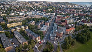
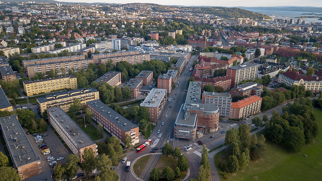
English: Aerial photograph of Sinsen and Rosenhoff in Oslo
Norsk nynorsk: Luftfoto av Sinsen og Rosenhoff-området i Oslo. |
|
| Date | ||
| Source | Own work | |
| Author | Tore Sætre | |
| Permission (Reusing this file) |
|

.jpg&action=edit§ion=1)
This media was created as part of Wikimedia Norway's drone project.
|
| Camera location | | View this and other nearby images on: OpenStreetMap |
|---|
.jpg¶ms=059.934455_N_0010.778272_E_globe:Earth_type:camera__&language=en)
Licensing
[edit].jpg&action=edit§ion=2)
- You are free:
- to share – to copy, distribute and transmit the work
- to remix – to adapt the work
- Under the following conditions:
- attribution – You must give appropriate credit, provide a link to the license, and indicate if changes were made. You may do so in any reasonable manner, but not in any way that suggests the licensor endorses you or your use.
- share alike – If you remix, transform, or build upon the material, you must distribute your contributions under the same or compatible license as the original.
File history
Click on a date/time to view the file as it appeared at that time.
| Date/Time | Thumbnail | Dimensions | User | Comment | |
|---|---|---|---|---|---|
| current | 20:54, 26 August 2018 | | 3,992 × 2,242 (5.39 MB) | Toresetre (talk | contribs) | Uploaded with LrMediaWiki 0.8.0, LR 7.5 Win |
You cannot overwrite this file.
File usage on Commons
The following 2 pages use this file:
.jpg)
File usage on other wikis
The following other wikis use this file:
- Usage on cs.wikipedia.org
.jpg&oldid=935041041)