File:Sayago Norte 04.jpg
Jump to navigation
Jump to search
Size of this preview: 800 × 446 pixels. Other resolutions: 320 × 178 pixels | 640 × 357 pixels | 1,080 × 602 pixels.
Original file (1,080 × 602 pixels, file size: 191 KB, MIME type: image/jpeg)
Captions
Captions
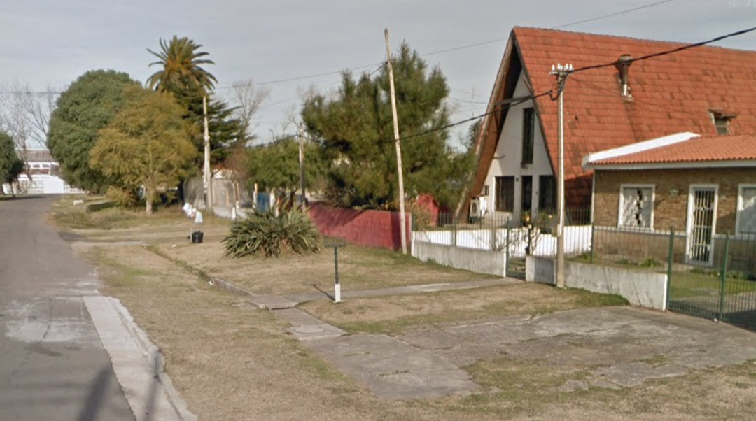
Imagen de Piribebuy en Sayago Norte
Summary
[edit]
| Description |
English: Imagen de Golondrinas en Sayago Norte con vista a la fábrica de columnas de UTE en Sayago. Sayago Norte está rodeado por La Tablada, Conciliación, Sayago, Nuevo París y Paso de la Arena. Queda en el noroeste de Montevideo, como su nombre lo indica, es la parte norte de Sayago, pero tiene este nombre solamente porque está en la parte más al norte de Sayago. |
| Date | |
| Source | Own work |
| Author | NordMaps |
| Camera location | | View this and other nearby images on: OpenStreetMap |
|---|
Piribebuy sayago norte
Licensing
[edit]
I, the copyright holder of this work, hereby publish it under the following license:
| This file is made available under the Creative Commons CC0 1.0 Universal Public Domain Dedication. | |
| The person who associated a work with this deed has dedicated the work to the public domain by waiving all of their rights to the work worldwide under copyright law, including all related and neighboring rights, to the extent allowed by law. You can copy, modify, distribute and perform the work, even for commercial purposes, all without asking permission.
|
File history
Click on a date/time to view the file as it appeared at that time.
| Date/Time | Thumbnail | Dimensions | User | Comment | |
|---|---|---|---|---|---|
| current | 02:19, 17 March 2024 | | 1,080 × 602 (191 KB) | NordMaps (talk | contribs) | Uploaded own work with UploadWizard |
You cannot overwrite this file.
File usage on Commons
There are no pages that use this file.