File:Saint Nicolas Parish Church in Nuneaton, geograph-4220760-by-Mat-Fascione.jpg
Jump to navigation
Jump to search
Size of this preview: 565 × 599 pixels. Other resolutions: 226 × 240 pixels | 452 × 480 pixels | 724 × 768 pixels | 965 × 1,024 pixels | 1,508 × 1,600 pixels.
Original file (1,508 × 1,600 pixels, file size: 484 KB, MIME type: image/jpeg)
Captions
Captions
Add a one-line explanation of what this file represents
Summary
[edit]| Description |
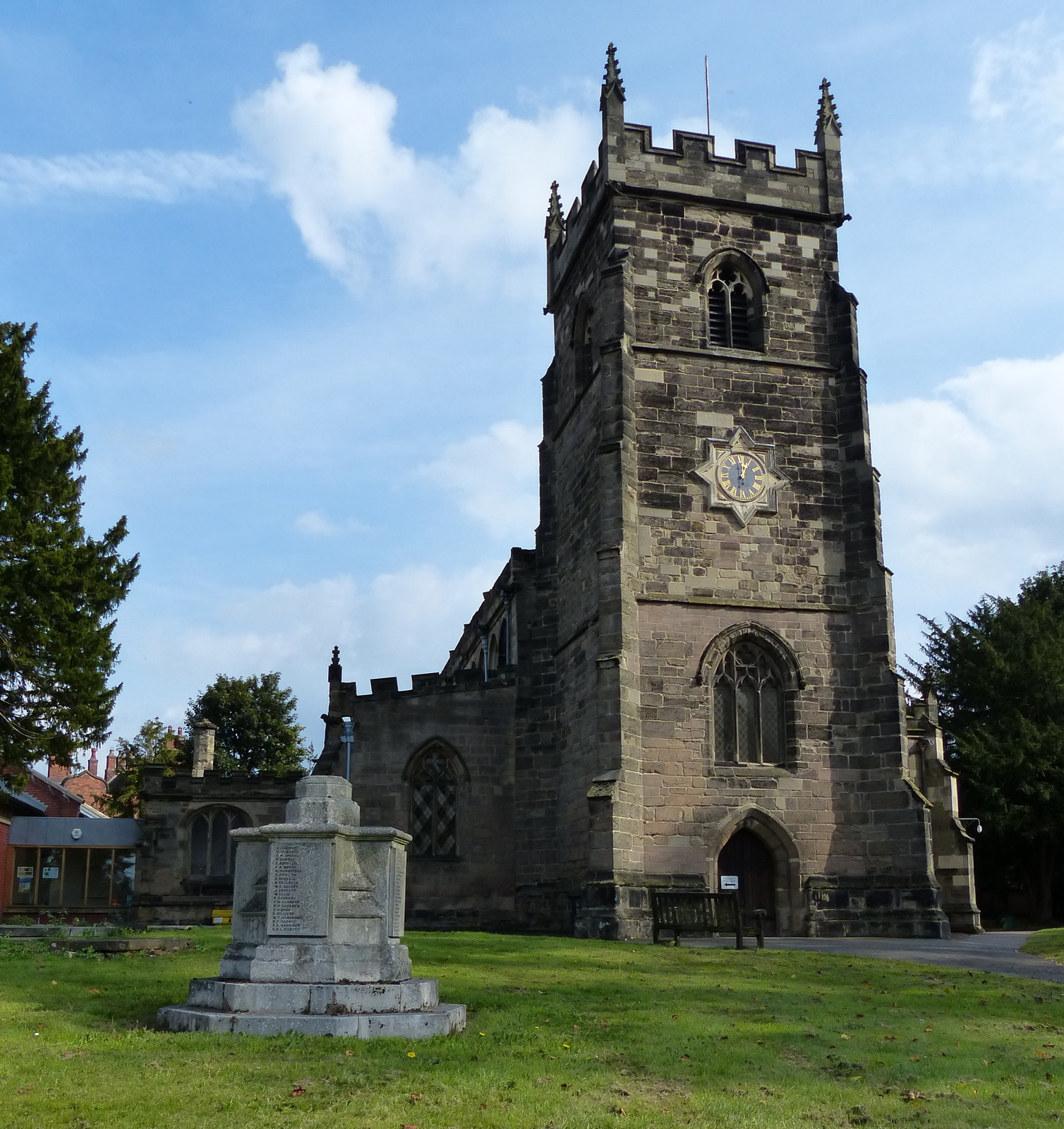
English: Saint Nicolas Parish Church in Nuneaton. |
||
| Date | |||
| Source | geograph.org.uk | ||
| Author | Mat Fascione | ||
| Permission (Reusing this file) |
This file is licensed under the Creative Commons Attribution-Share Alike 2.0 Generic license. Attribution: Mat Fascione
|
||
| Attribution (required by the license) | Mat Fascione / Saint Nicolas Parish Church in Nuneaton / | ||

| Camera location | | View this and other nearby images on: OpenStreetMap |
|---|
_region:GB-ENG_heading:90.00&language=en)
| Object location | | View this and other nearby images on: OpenStreetMap |
|---|
_region:GB-ENG_heading:90.00&language=en)
File history
Click on a date/time to view the file as it appeared at that time.
| Date/Time | Thumbnail | Dimensions | User | Comment | |
|---|---|---|---|---|---|
| current | 15:59, 28 January 2019 | | 1,508 × 1,600 (484 KB) | G-13114 (talk | contribs) | == {{int:filedesc}} == {{Information |description={{en|1=Saint Nicolas Parish Church in Nuneaton.}} |date=2014-09-28 |source= [https://www.geograph.org.uk geograph.org.uk] |author= Mat Fascione |permission= {{Geograph|4220760|Mat Fascione}} |other_versions= |other fields= {{Credit line |Author = Mat Fascione |Other = |License = CC-BY-SA-2.0 }}}} Category:St Nicolas' Church, Nuneaton Category:2014 in Warwickshire |
You cannot overwrite this file.
File usage on Commons
There are no pages that use this file.
File usage on other wikis
The following other wikis use this file:
- Usage on en.wikipedia.org
- Usage on pt.wikipedia.org