
File:RoBrasov.svg

Size of this PNG preview of this SVG file: 655 × 600 pixels. Other resolutions: 262 × 240 pixels | 524 × 480 pixels | 839 × 768 pixels | 1,118 × 1,024 pixels | 2,236 × 2,048 pixels | 843 × 772 pixels.
Original file (SVG file, nominally 843 × 772 pixels, file size: 55 KB)
Captions
Captions
Add a one-line explanation of what this file represents
Summary
[edit]
| Description |
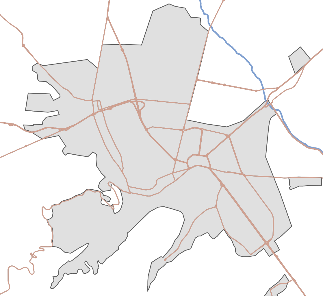
English: City of Brasov |
| Date | |
| Source | OpenStreetMap data |
| Author | OpenStreetMap contributors |
Licensing
[edit]
This file is licensed under the Creative Commons Attribution-Share Alike 4.0 International license.
- You are free:
- to share – to copy, distribute and transmit the work
- to remix – to adapt the work
- Under the following conditions:
- attribution – You must give appropriate credit, provide a link to the license, and indicate if changes were made. You may do so in any reasonable manner, but not in any way that suggests the licensor endorses you or your use.
- share alike – If you remix, transform, or build upon the material, you must distribute your contributions under the same or compatible license as the original.
File history
Click on a date/time to view the file as it appeared at that time.
| Date/Time | Thumbnail | Dimensions | User | Comment | |
|---|---|---|---|---|---|
| current | 09:17, 29 September 2016 | | 843 × 772 (55 KB) | Whitepixels (talk | contribs) | Remove some roads near the border |
| 08:38, 29 September 2016 |  | 803 × 767 (68 KB) | Whitepixels (talk | contribs) | Stronger borders | |
| 08:28, 29 September 2016 |  | 803 × 767 (68 KB) | Whitepixels (talk | contribs) | Minor fixes | |
| 06:10, 26 September 2016 |  | 404 × 391 (50 KB) | Whitepixels (talk | contribs) | Higher contrast for LCD screens | |
| 07:27, 23 September 2016 |  | 404 × 391 (50 KB) | Whitepixels (talk | contribs) | User created page with UploadWizard |
You cannot overwrite this file.
File usage on Commons
The following 3 pages use this file:
File usage on other wikis
The following other wikis use this file:
- Usage on hu.wikipedia.org
- Cenk
- Fortyogó-hegy
- Mártonhegyi evangélikus templom
- Óbrassói ortodox templom
- Fellegvár (Brassó)
- Bolonyai római katolikus templom
- Bolgárszegi evangélikus templom
- Bolonyai szász evangélikus templom
- Brassói magyar evangélikus templom
- Pe Tocile-i ortodox templom
- Brassói unitárius templom
- Brassó-belvárosi református templom
- Bolgárszeg
- Első román iskola
- Andrei Șaguna Főgimnázium
- Brassovia vára
- Rakodó-negyed
- Astra-negyed
- Új városközpont (Brassó)
- Traktor-negyed
- Florilor-Kreiter
- Tömös-Triaj
- Bolonya
- Zajzon-kelet
- Știrbei-palota (Brassó)
- Sablon:Pozíciós térkép Brassó
- Brassó Megyei Történeti Múzeum
- Szász Nemzeti Bank
- Beer-villa
- Reménység Háza (Brassó)
- Sică Alexandrescu színház
- Lövölde (Brassó)
- Angyali üdvözlet templom (Brassó)
- Szent György-templom (Brassó)
- Bolonyai római katolikus kápolna
- Ioan Meșotă Főgimnázium
- Szentes ház (Brassó)
- Katalin utca (Brassó)
- Brassó várfalai és bástyái
- Rezső körút
- Városháza (Brassó)
- Igazságügyi palota (Brassó)
- Groaveri-i ortodox templom
- Postapalota (Brassó)
- Kút utca
- Vasút utca (Brassó)
- Usage on ja.wikipedia.org
- Usage on www.wikidata.org
View more global usage of this file.