File:RU RYA Yermishinsky outline.svg

Original file (SVG file, nominally 546 × 632 pixels, file size: 158 KB)
Captions
Captions
Summary
[edit]
| Description |
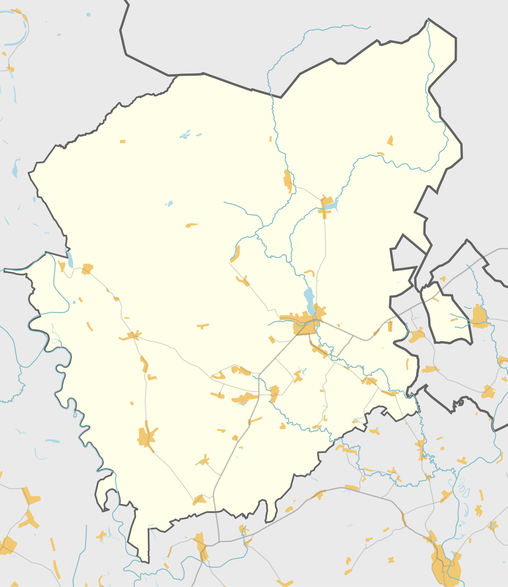
Русский: Карта, Ермишинский район, Рязанская область. |
| Date | |
| Source | Own work using Maperitive tool on OpenStreetMap data, then Inkscape |
| Author | OpenStreetMap contributors & Nzeemin |
Licensing
[edit]
| Description |
This map was created from OpenStreetMap project data, collected by the community. This map may be incomplete, and may contain errors. Don't rely solely on it for navigation. |
|||
| Date | (see file history) | |||
| Source | openstreetmap.org | |||
| Creator |
OpenStreetMap contributors |
|||
| Permission (Reusing this file) |
OpenStreetMap data is available under the Open Database License (details). Map tiles are licensed under the Creative Commons Attribution-ShareAlike 2.0 license (CC-BY-SA 2.0).
This file is licensed under the Creative Commons Attribution-Share Alike 2.0 Generic license.
|
|||
| Georeferencing | If inappropriate please set warp_status = skip to hide. |
Details
[edit]
Maperitive commands:
set-geo-bounds 41.8125,54.541667,42.5625,55.041667
set-print-bounds-geo
zoom 10
export-svg compatibility=inkscape
File history
Click on a date/time to view the file as it appeared at that time.
| Date/Time | Thumbnail | Dimensions | User | Comment | |
|---|---|---|---|---|---|
| current | 16:37, 29 October 2014 | | 546 × 632 (158 KB) | Nzeemin (talk | contribs) | User created page with UploadWizard |
You cannot overwrite this file.
File usage on Commons
There are no pages that use this file.
File usage on other wikis
The following other wikis use this file:
- Usage on ru.wikipedia.org
- Азеево (Рязанская область)
- Ермишь
- Игошино (Рязанская область)
- Иванково (Ермишинский район)
- Шаблон:ПозКарта Россия Рязанская область Ермишинский район
- Административно-территориальное деление Ермишинского района
- Участник:Nzeemin/Карты/Районы
- Гремячий Ключ (Рязанская область)
- Нарма (Рязанская область)
- Надежка (Рязанская область)
- Савватьма
- Царёво (Рязанская область)
- Власово (Рязанская область)
- Узково (Рязанская область)
- Вышуры
- Токмаково
- Михайлово (Рязанская область)
- Карачево (Рязанская область)
- Тонкачёво (Ермишинский район)
- Турмадеево
- Алёхино (Ермишинский район)
- Малахово (Ермишинский район)
- Акаево (Рязанская область)
- Бедишево
- Николаевка (Ермишинский район)
- Надеждино (Ермишинский район)
- Кулаково (Ермишинский район)
- Петино-Глинково
- Высокое (Ермишинский район)
- Кафтейка
- Липлейка (Рязанская область)
- Рязанка (Рязанская область)
- Сергеевка (Ермишинский район)
- Торопово (Рязанская область)
- Рюмино (Рязанская область)
- Илемники
- Костино (Ермишинский район)
- Данилово (Ермишинский район)
- Вороновка (Ермишинский район)
- Степановка (Ермишинский район)
- Сторожевка (Рязанская область)
- Корнеевка (Рязанская область)
- Милейка
- Спасско-Раменье
- Некрасовка (Ермишинский район)
- Горелышево (Рязанская область)
- Мухины Поляны
- Большое Ляхово
- Мердушь
- Богатовка (Рязанская область)
View more global usage of this file.