File:RU-MOS-Balashiha-outline.svg
Jump to navigation
Jump to search

Size of this PNG preview of this SVG file: 578 × 492 pixels. Other resolutions: 282 × 240 pixels | 564 × 480 pixels | 902 × 768 pixels | 1,203 × 1,024 pixels | 2,406 × 2,048 pixels.
Original file (SVG file, nominally 578 × 492 pixels, file size: 1.19 MB)
Captions
Captions
Add a one-line explanation of what this file represents
Summary
[edit]
| Description |
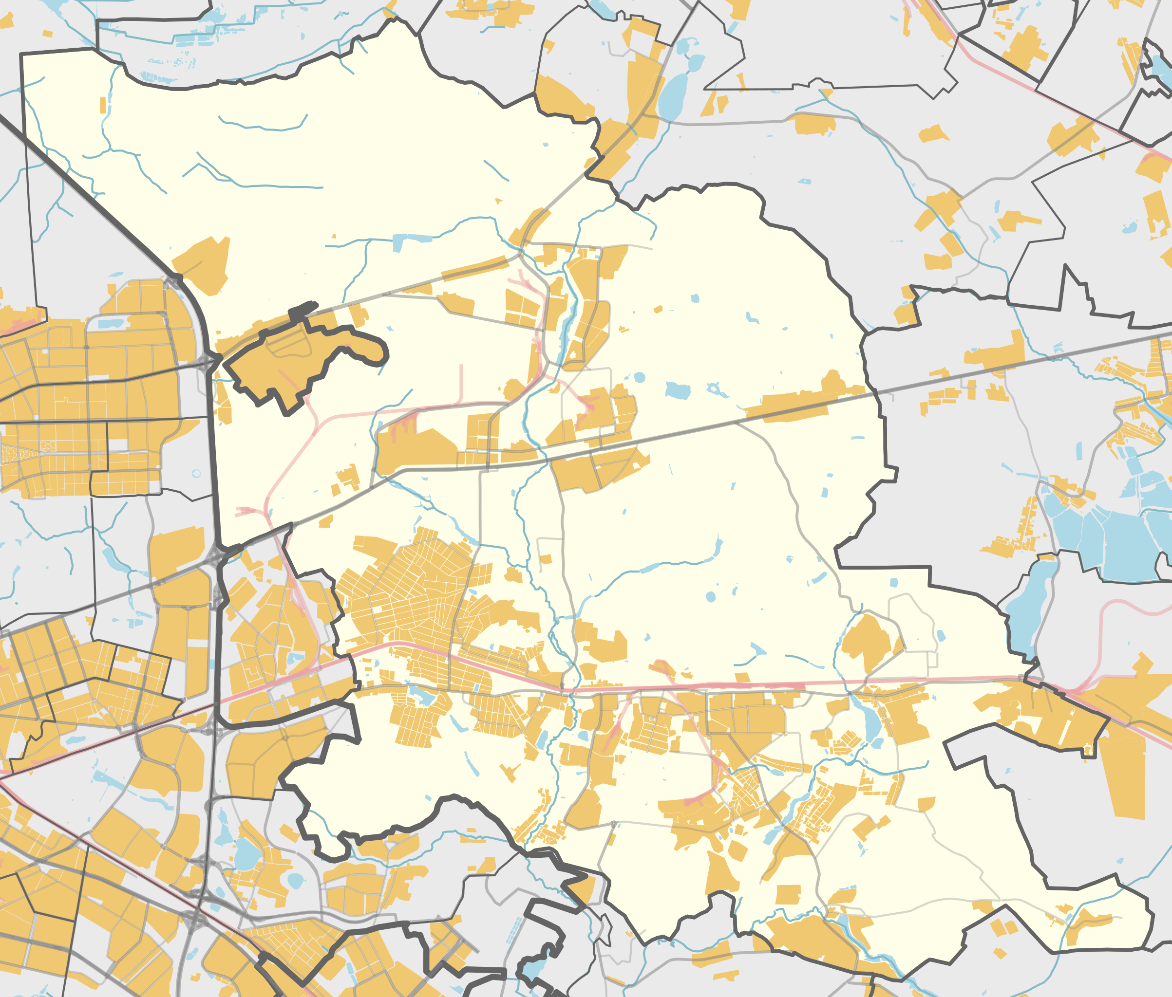
Русский: Карта, городской округ Балашиха, Московская область. |
| Date | |
| Source | Own work using Maperitive tool on OpenStreetMap data, then Inkscape |
| Author | OpenStreetMap contributors & Nzeemin |
Licensing
[edit]
| Description |
This map was created from OpenStreetMap project data, collected by the community. This map may be incomplete, and may contain errors. Don't rely solely on it for navigation. |
|||
| Date | (see file history) | |||
| Source | openstreetmap.org | |||
| Creator |
OpenStreetMap contributors |
|||
| Permission (Reusing this file) |
OpenStreetMap data is available under the Open Database License (details). Map tiles are licensed under the Creative Commons Attribution-ShareAlike 2.0 license (CC-BY-SA 2.0).
This file is licensed under the Creative Commons Attribution-Share Alike 2.0 Generic license.
|
|||
| Georeferencing | If inappropriate please set warp_status = skip to hide. |
Details
[edit]
Maperitive commands:
set-geo-bounds 37.769,55.693,38.166,55.883
set-print-bounds-geo
zoom 11
export-svg compatibility=inkscape
File history
Click on a date/time to view the file as it appeared at that time.
| Date/Time | Thumbnail | Dimensions | User | Comment | |
|---|---|---|---|---|---|
| current | 17:52, 15 February 2015 | | 578 × 492 (1.19 MB) | Nzeemin (talk | contribs) | Железнодорожный и Купава теперь часть городского округа Балашиха. |
| 14:23, 30 March 2014 |  | 578 × 492 (1.12 MB) | Nzeemin (talk | contribs) | User created page with UploadWizard |
You cannot overwrite this file.
File usage on Commons
The following 3 pages use this file:
File usage on other wikis
The following other wikis use this file:
- Usage on ar.wikipedia.org
- Usage on ast.wikipedia.org
- Usage on ca.wikipedia.org
- Usage on eo.wikipedia.org
- Usage on es.wikipedia.org
- Usage on eu.wikipedia.org
- Usage on hy.wikipedia.org
- Usage on ro.wikipedia.org
- Usage on ru.wikipedia.org
- Железнодорожный (Балашиха)
- Балашиха
- Балашиха (городской округ)
- Кучино (микрорайон)
- Салтыковка (микрорайон Балашихи)
- Чечёра (приток Руднёвки)
- Пуршево (городской округ Балашиха)
- Соболиха (Московская область)
- Чёрная (приток Пехорки)
- Павлино
- Горенка (приток Пехорки)
- Чёрное (Московская область)
- Малашка
- Бабошкино
- Никольско-Архангельский
- Купавна (микрорайон)
- Проект:Графическая мастерская/Заявки/Архив/2014/03
- Участник:Nzeemin/Карты/Районы
- Обсуждение участника:Nzeemin/Архив/2012-2015
- Дятловка (Московская область)
- Пестово (городской округ Балашиха)
- Полтево (Московская область)
- Русавкино-Поповщино
- Русавкино-Романово
- Новый Милет
- Павлино (Московская область)
- Фенино (городской округ Балашиха)
- Федурново (Московская область)
- Шаблон:ПозКарта Россия Московская область Городской округ Балашиха
- Руднёвка (приток Пехорки)
- Парк в деревне Полтево
- Парк в селе Новый Милет
- Старинный парк и кварталы 1, 3, 4, 9 Салтыковского участка Балашихинского лесопарка
- Участник:Zesicem/Черновик
- Usage on uk.wikipedia.org
- Usage on vep.wikipedia.org
- Usage on vi.wikipedia.org
- Usage on www.wikidata.org